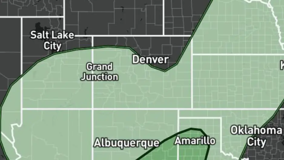
Map showing massive storm system in US leaves people stunned with X-rated shape of man's private part

The National Weather Service's prediction for the third day of 'excessive rainfall' has left everyone 'running to the comments' for all the wrong reasons.
This year's El Niño event is more than keeping those at the National Weather Service (NWS) on thier toes after breaking a 44-year record, predicted as to have devastating consequences all the way into 2027, and 20 states being warned of a stormy winter ahead.
However, that's not all, with a weather forecast having since been released by the NWS revealing the extent of the excessive rainfall impacting the US.
At the time of writing, the NWS has released its forecast for excessive rain through from Tuesday, September 29, to Sunday, October 4.
Advert
However, it's day three - Friday, October 2 - in particular which has caught the eyes of many social media users'.
One Twitter user said: "Who else saw the image and ran straight to the comments?"
"Not THE national weather service raw doggin the vast majority of the Mid West," another added.
A third wrote: "What the flippity flop is that shape?"
And as another perfectly summarised the report: "Colorado and the southern plains see this and say 'that’s nuts!' Nebraska, Iowa, and Wisconsin are getting the shaft here. But it appears that the Great Lakes are coming out a head."
If you hadn't got it yet, check out the prediction below:
Yup. In an unfortunate and infantile turn of events, the forecast highlighting various areas of the US expected to get excessive rain has ended up in a phallic shape.
However, for those who actually wanted a weather report rather than just a quick snigger...
The report details that areas including Oklahoma City, Arkansas and Dallas can expect 'at least 40 percent' risk of rainfall exceeding flash flood guidance within 25 miles of a point.
Others areas anticipated as being badly hit include Austin, Midland, Tulsa, Kansas City, Lincoln, Denver, Des Moines, Madison, and Milwaukee.
Or, as one user said: "It’s gonna get hairy in Texas & New Mexico meanwhile Michigan is at the tipping point !!"
But why is the excessive rain happening?
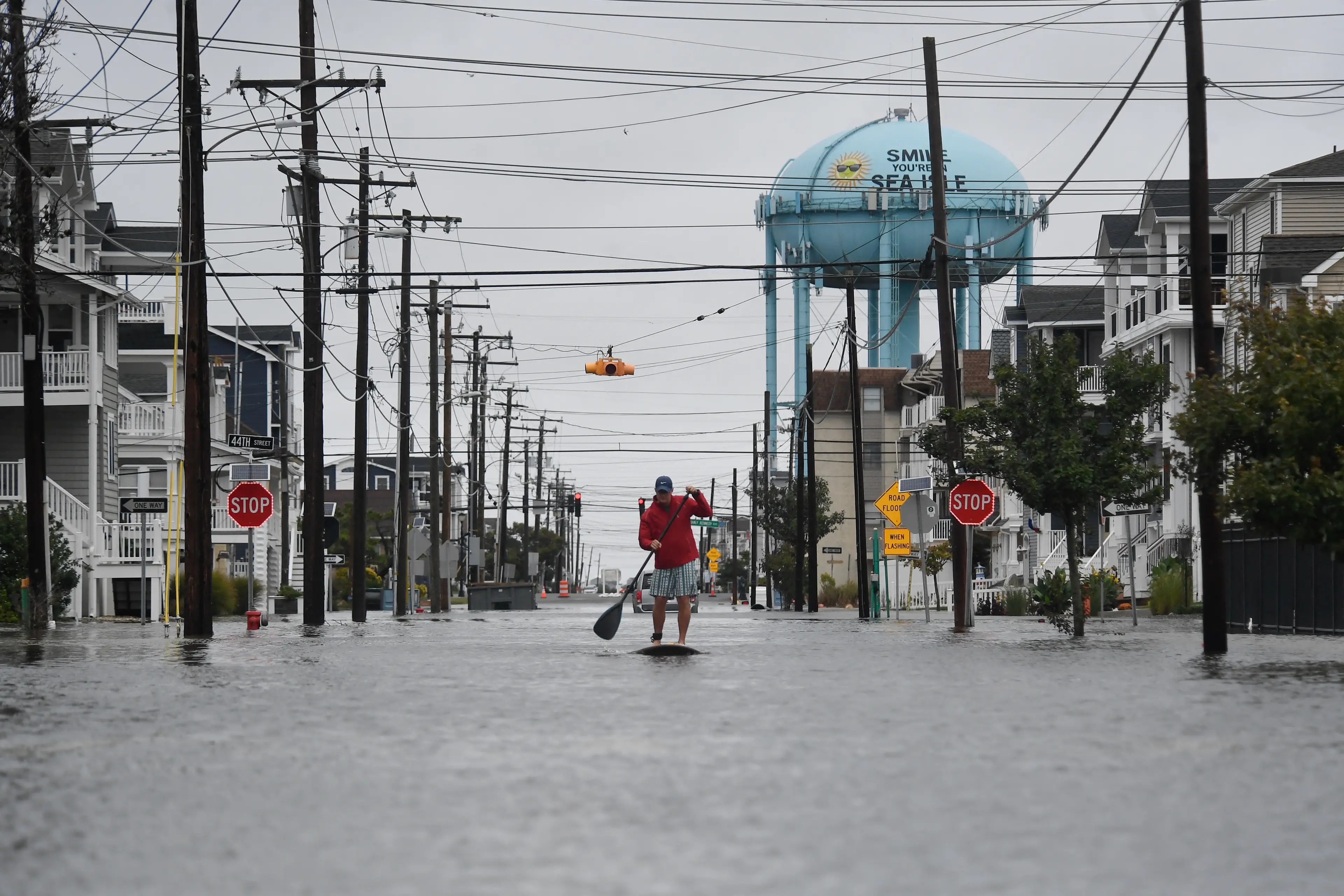
Well, the NWS explains the High Plains have 'absborbed the remnant energy and moisture from Tropical Cyclone Polo'.
It warns: "Tropically enhanced heavy rainfall will continue to spread from the Southwest to the Southern/Central Plains and into the northern Mississippi Valley.
"Multiple days with overlapping heavy rain footprints will keep elevated threats for excessive rainfall and flash flooding.
"Locations particularly sensitive will be dry washes, burn scars, slot canyons, and areas of higher terrain."
However, it reassures that given the 'dry slot' and its movement through eastern New Mexico and the Panhandles, many of the areas in the south which were worst hit today can hope for less wet conditions in the forthcoming days and their risk of flooding rainfall will be 'very low'.
What a whirlwind.
Topics: US News, Weather, El Niño, Social Media, Climate Change
 Poppy Bilderbeck