Horrifying map shows the surprising areas in US which are most at risk of wildfires
Topics: Wildfires, Climate Change, Environment, US News, Weather
 Stefania Sarrubba
Topics: Wildfires, Climate Change, Environment, US News, Weather
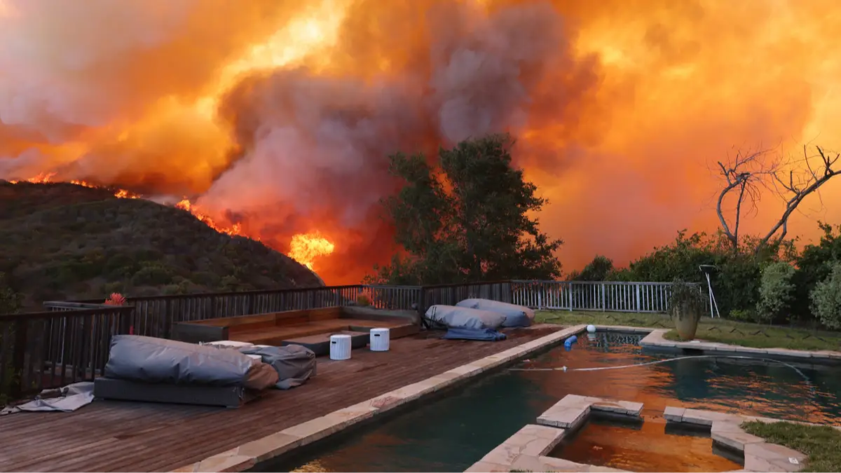
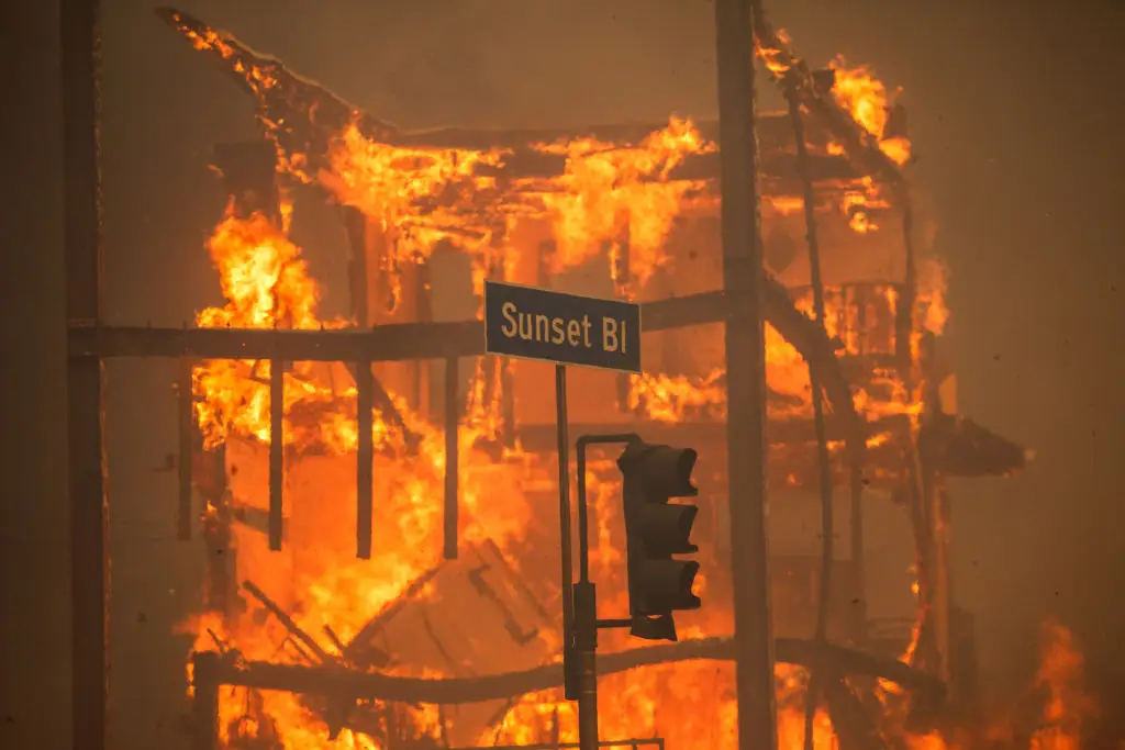
After Southern California was devastated by wildfires earlier this year, studies have revealed that some areas of the US are at greater risk than others.
Recent incidents have been proving that blazes are becoming more frequent, with the peak month remaining August.
Large areas of California were engulfed in flames at the beginning of 2025, resulting in a death toll of 30 people and forcing more than 200,000 residents to evacuate.
But California's wildfires weren't an isolated occurrence, as a fire also recently erupted in New Jersey, causing hazardous air quality across the state and in New York.
Advert
Published earlier this week, research by AccuWeather shows longterm forecasts with a terrifying prospect of seeing between 7 and 9 million acres will burn across the United States, above the historical average of 7 million.
There are estimated to be between 60,000 and 75,000 fires across the country this year, with 7,500 to 9,000 expected to erupt in California alone.
The research has also explained why spring fires are becoming a threat. While the summer and autumn months are usually more impacted by fires, drought conditions can mean that fires could occur in certain areas even during the spring.
In response to the emergency, AccuWeather has created a map of the US areas at higher risk of fires, with the Southern Plains and interior Southwest being identified as fire-prone zones.
"Despite a few early spring storms, drought conditions remain deeply entrenched," senior meteorologist Paul Pastelok said.
"Dry, windy and low-humidity days are expected to be frequent across the region, leading to rapid drying of available fuels and an increased number of high-risk wildfire days."
Pastelok added: "While the season may start slowly, there is strong potential for rapid escalation as drought conditions and heat set in."
The fire danger may have decreased, especially in parts of eastern Texas, Arkansas and southeastern Oklahoma, but there's still a chance of additional fires sparking through the remainder of the spring.
In the summer months, shifting weather conditions could cause for a surge in wildfire activity, especially across the Northwest and northern Rockies.
"While the season may start slowly, there is strong potential for rapid escalation as drought conditions and heat set in," Pastelok said.

Risk remains high for Southwestern states facing monsoon rains early on in the summer, particularly when lightning from the storms strike on a dry landscape, potentially causing fires.
Later in the monsoon season, rains could be a deterrent for fires, as AccuWeather Meteorologist Brandon Buckingham explained.
"As summer progresses, repeated rounds of monsoon rains and elevated humidity should help suppress wildfire development, particularly in Arizona, western New Mexico and southern Utah," Buckingham said.
Other states should watch out, too, according to the meteorologist.
"Dry stretches with below-normal thunderstorm activity can lead to temporary flare-ups, especially in the Carolinas, parts of Georgia, Florida and the Gulf Coast," he said.
Meanwhile, the trees downed during a late-March ice storm could also temporarily increase the risk of fires in northern Michigan and northeastern Wisconsin in the summer and autumn months.