Americans across 20 states warned of stormy winter after El Niño breaks 44-year record

El Niño is continuing to cause widespread disruption across the US, with 20 states potentially facing a wetter and stormier winter than ever.
The National Oceanic and Atmospheric Administration (NOAA) forecasts an increased chance of wetter and stormier weather conditions across parts of at least 20 states in the US, stretching from California and the Southwest, through the southern Plains, Gulf Coast and Southeast.
California, Oregon, Nevada, Arizona, Utah, Colorado, New Mexico, Kansas, Oklahoma, Texas, Arkansas, Louisiana, Mississippi, Tennessee, Alabama, Georgia, Florida, South Carolina, North Carolina and Virginia are the 20 states which are expected to be hit the hardest.
However, the bleak outlook covers only parts of some states, so it's important to check whether advisory in your local area for the advice on how to how a trouble-free winter, experts have said.
Advert
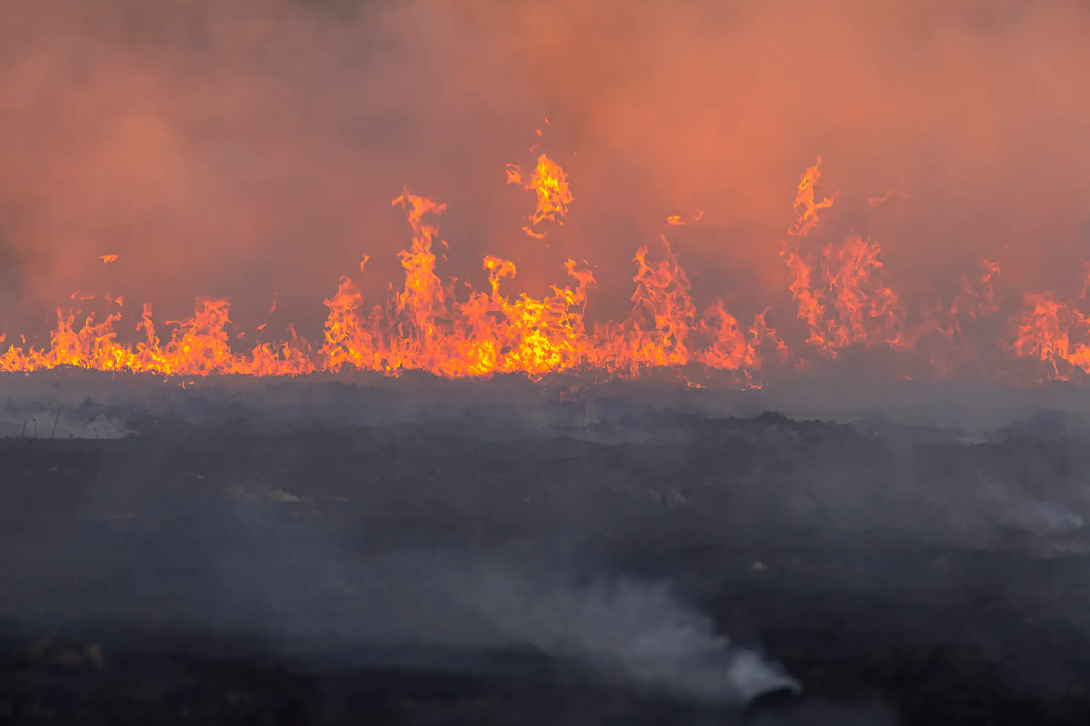
California and parts of the southwest are expected to suffer from increased rainfall and possible flooding, while parts of Texas and the Gulf Coast, are set for 'a wetter, more active storm season'.
Meanwhile, in the southeast of the country, there is an increased chance of above-normal levels of perception, compared to the typical winter rainfall you'd likely find in cities such as Atlanta, Georgia, Miami, and Florida.
If you head to more northern parts of the country, you'll find typically warmer-than-average temperatures in the coming months, but don't expect to be whipping the shorts out anytime soon.
It comes as experts confirmed El Niño has passed a historic temperature benchmark, which is still intensifying as we head into the colder months.
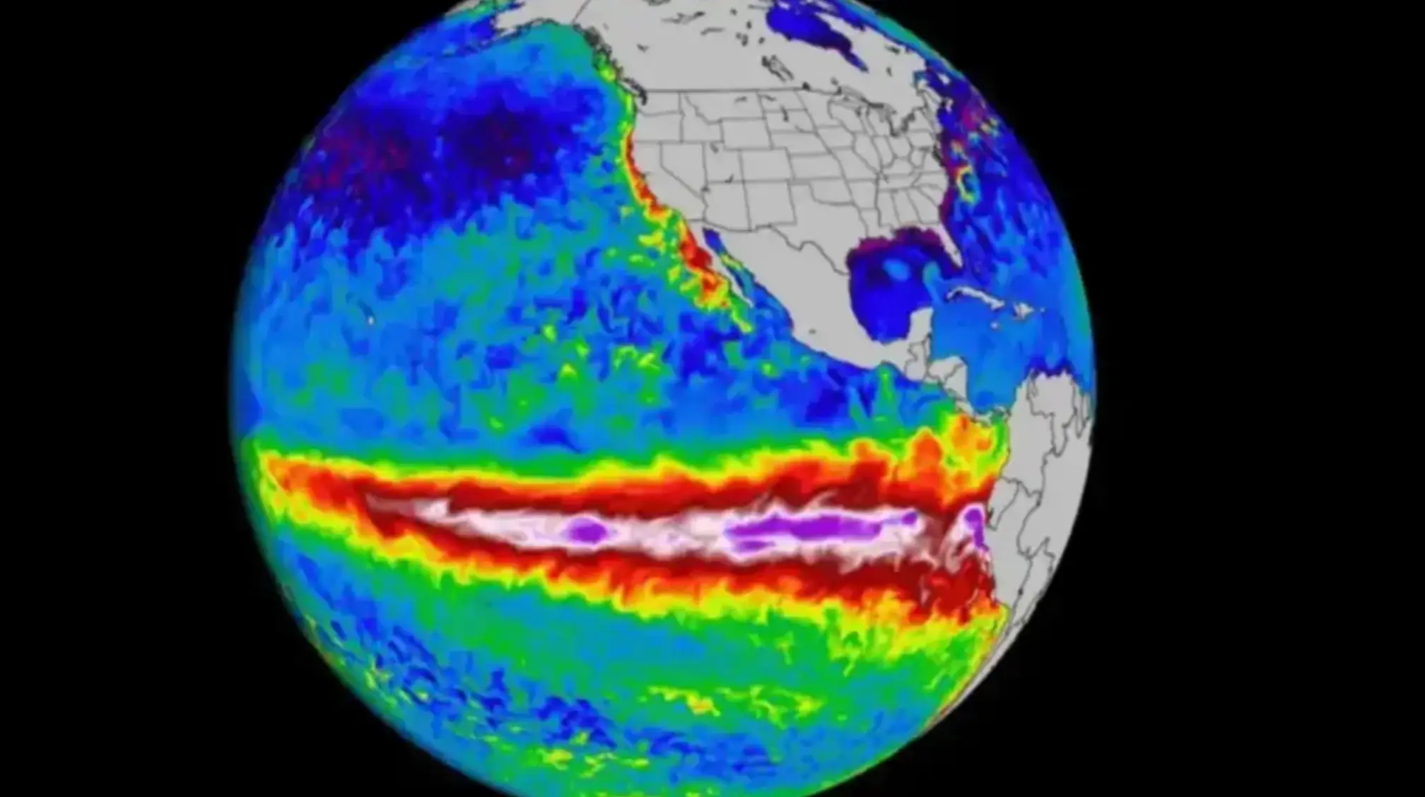
As of Sunday (September 20), the Oceanic Niño Index (ONI) stands at +3.04 degrees celsius, which surpasses the last highest recorded temperature at +3.02 degrees celsius in November 2015.
ONI measures water temperatures compared to a 30-year average, though is an old metric that has since been retired by NOAA.
Scott Handel, lead meteorologist at NOAA’s Climate Prediction Center (CPC), told Newsweek: "Confidence is exceptionally high (greater than 90 percent chance) for a very strong El Niño for this fall and winter and a 75 percent chance of a historic event that would exceed the strength of previous El Niño events dating back to 1950.
"This level of confidence is extremely rare. As such, El Niño was the most important driver in the forecast for December-January-February."
What is El Niño?
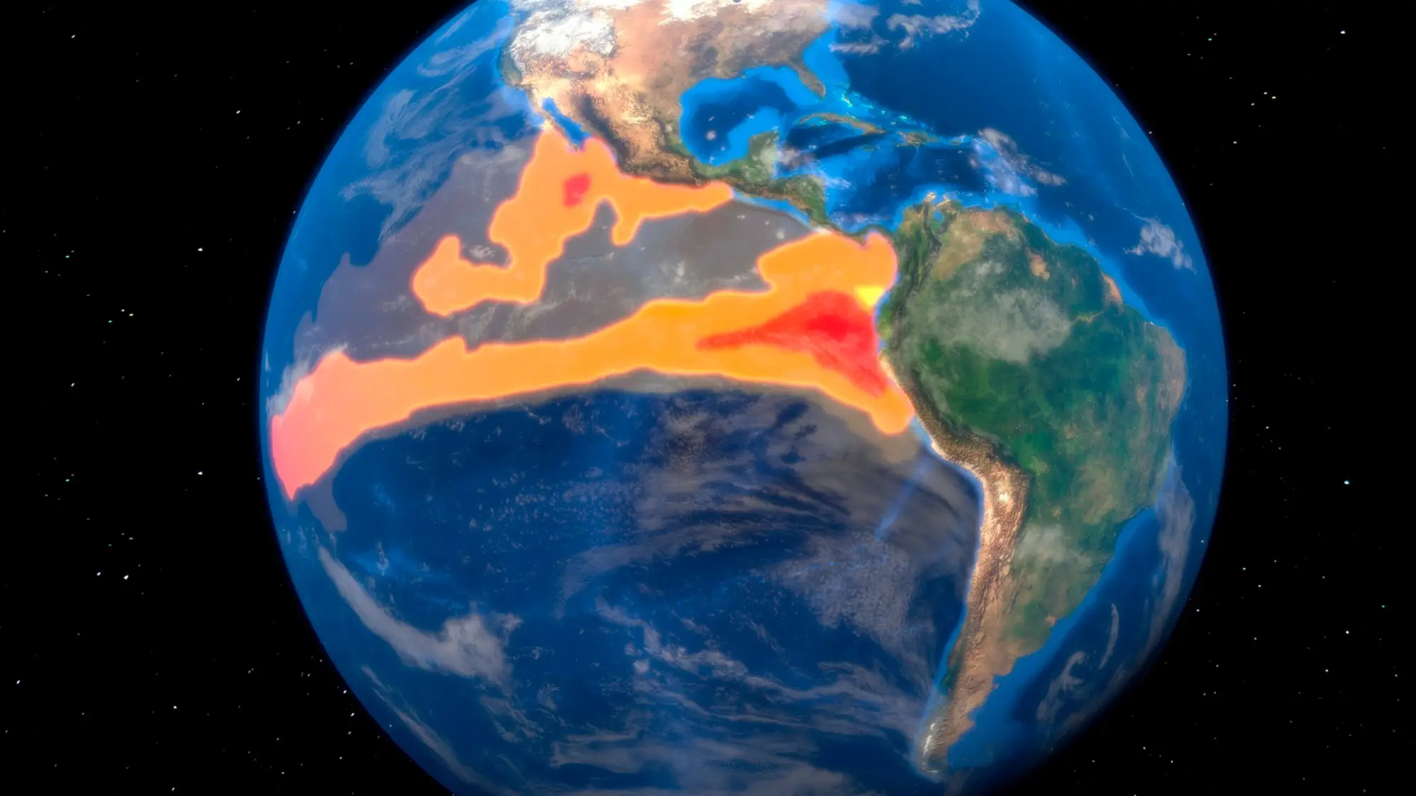
The natural climate pattern occurs when the surface waters of the central and eastern tropical Pacific Ocean become unusually warm.
It can cause extreme weather events, which the planet has been experiencing anyway in more recent years as a result of climate change.
These unpredictable weather events can range from draught, to extreme rainfall and tropical storms.
It's worth noting that these predictions are simply a forecast and these outlooks simply show an increased probability of extreme weather events.
Topics: Climate Change, Environment, Weather, US News
 Callum Jones