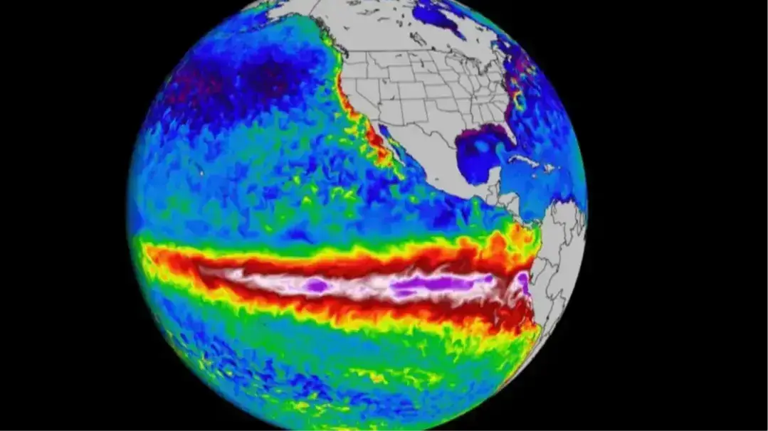
Already-strong El Niño has now reached ‘super’ level – what happens next

An already-strong El Niño has now reached 'super' level, meaning it could have a damaging impact across the world over the next few months.
The natural climate cycle was declared in June and is now strongest that it's ever been on this date, according to experts.
El Niño occurs when the surface waters of the central and eastern tropical Pacific Ocean become unusually warm. These events typically occur every two to seven years and last between nine and 12 months.
It can cause extreme weather events, which the planet has been experiencing anyway in more recent years as a result of climate change.
Advert
Forecasters have previously predicted that El Niño would become very strong or 'super' by this fall, a threshold that has already been passed, experts have said.
It will continue to soar higher in the weeks and months ahead.
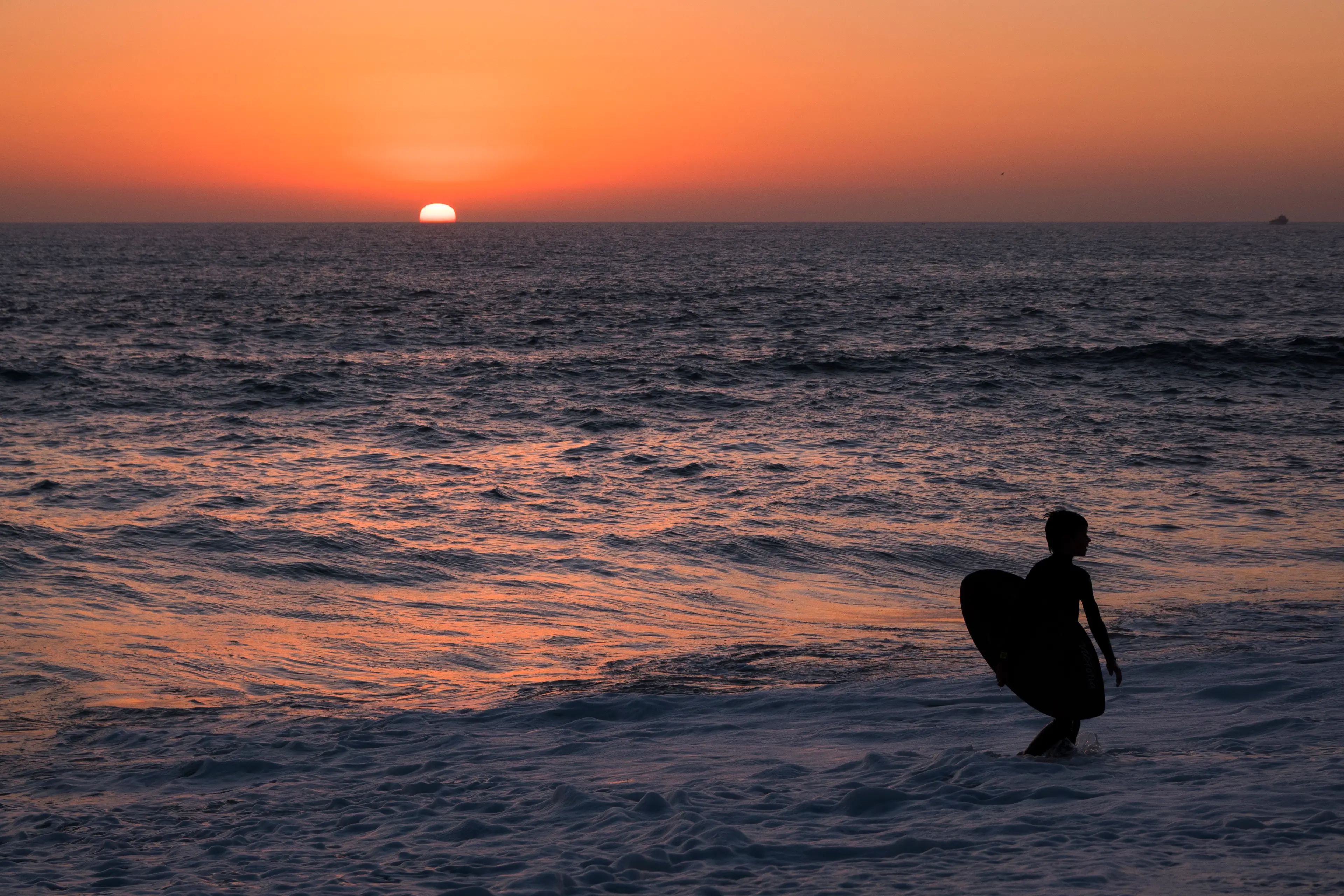
What happens next after El Niño reaches 'super' level?
Experts have warned this year's El Niño could be the most extreme on record, with NOAA’s latest forecast issued last week claiming this year's weather event has a 75 percent chance of peaking as the strongest since records began way back in 1950.
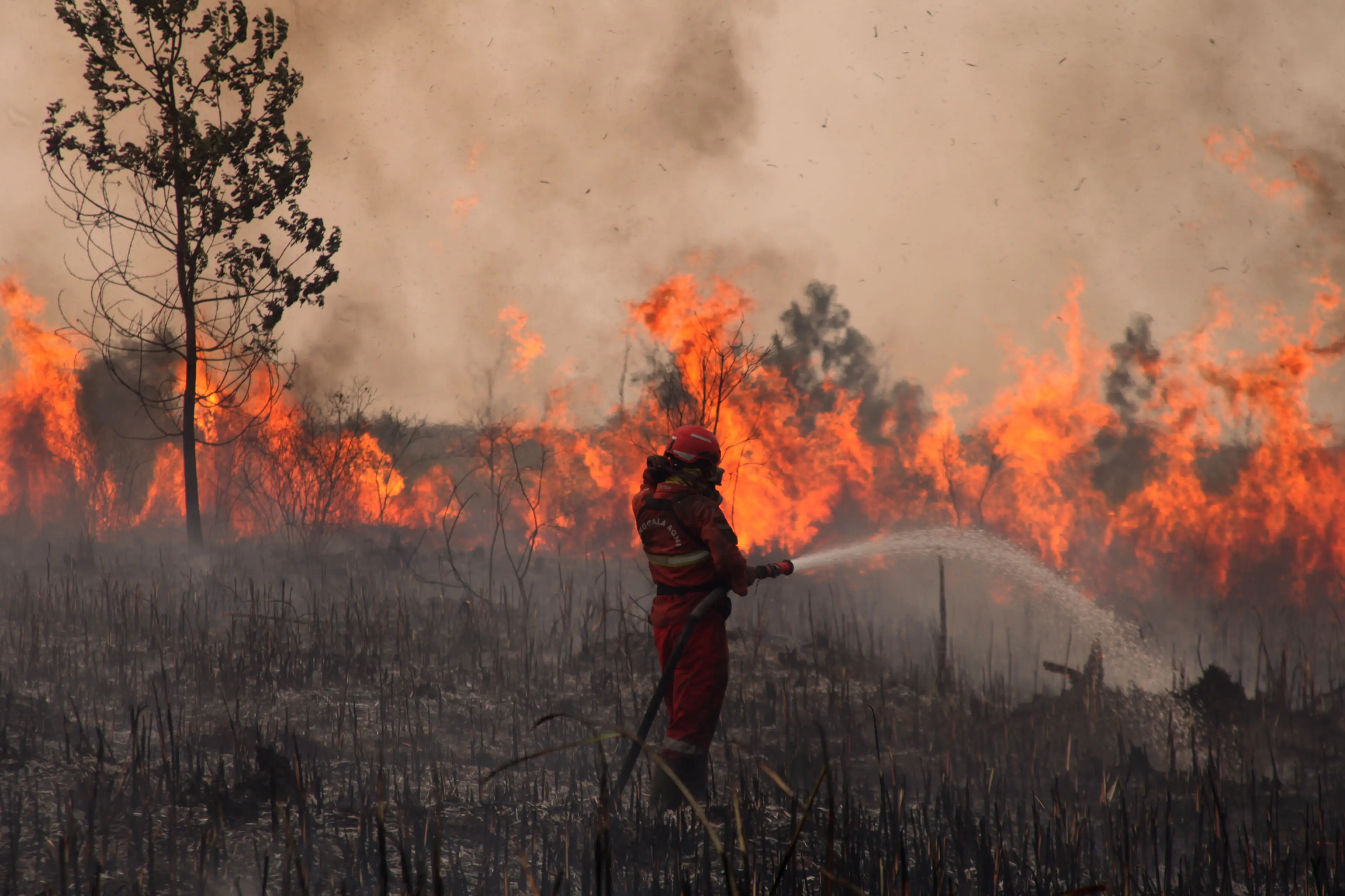
El Niño will continue to be a major factor in both the Atlantic and Pacific hurricane seasons, while Indonesia, for example, is battling huge wildfires, which could possibly worsen in the weeks ahead.
You see, El Niño makes the south-east Asian country a lot drier, which makes outbreaks of fires are lot more likely.
It's actually good news for those living in the US though, with experts claiming the 'monster' weather event is not something to be 'overly concerned' about.
Patrick Rafter, assistant professor in the College of Marine Science at USF, told TIME: "For the most part, I don't see a monster El Niño event as anything the continental US has to be overly concerned with."
However, Risper Nyairo, assistant professor in the department of environmental studies at Davidson College, notes that areas of the country with wetter conditions are more likely to experience tornados.
"We will likely see less severe or less frequent hurricanes, but probably more severe tornadoes with severe storms," Nyairo said.
On the other hand, Australia, parts of southern Africa, including Zambia and Zimbabwe could experience extreme draught, while South American nations such as Ecuador, Peru and Uruguay could well see more rainfall.
Nyairo added: "The increased rainfall or intense drought cascades into other impacts on society.
"Lives may be lost in unprepared societies. There could be property damage. There could be other related natural hazards… There's a myriad of impacts."
Topics: Climate Change, Environment, Weather
 Callum Jones