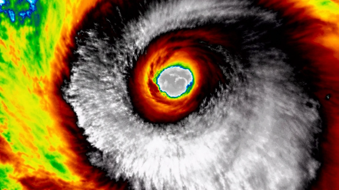
Concerning link between Super El Niño and Typhoon Champi as it becomes 2026's strongest storm on Earth

The strongest storm of 2026 is currently barrelling through off the coast of Taiwan, and there's a disturbing link between it and the Super El Niño.
East Asia is bracing itself for Super Typhoon Champi that has officially become the strongest tropical cyclone on Earth this year, with wind speed peaking at 184 mph - making it the equivalent of a Category 5 hurricane.
It took the top spot for wind speed from Hurricane Polo, the storm that hit Mexico last month and previously held the record at 177 mph.
However, Polo’s minimum central pressure bottomed out at 892 mb, which is lower than Champi’s 895 mb - for those that don't know, the lower the air pressure in the middle of the storm, the stronger the 'vacuum' is.
Advert
This means Polo technically remains the stronger storm by that specific measure, so the title depends on whether you count wind speed or pressure.
Anyway... Champi is the tenth storm in the northwest Pacific Ocean to hit super typhoon strength this season.
This figure is double the long-term average and sits just shy of the record of 13 set in 2015. Interestingly, 2015 was also an El Niño year, and experts point out that the current climate phenomenon is directly supercharging the weather system.
Storms tend to form farther east during this cycle, giving a cyclone more time to accumulate energy over open and warm waters as it churns toward land.
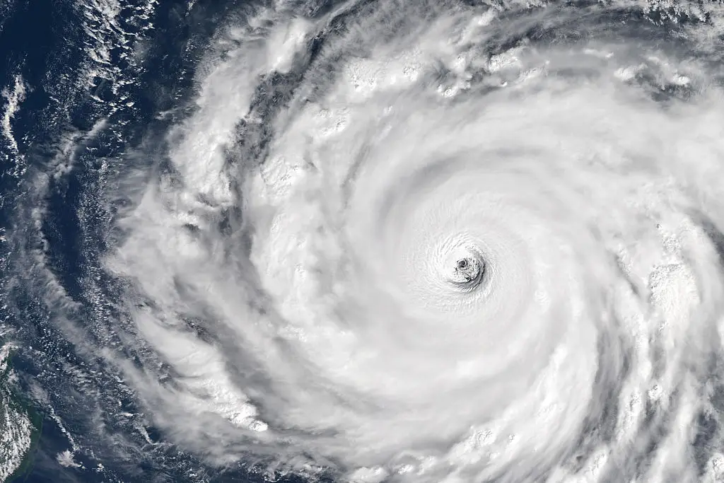
Sea surface temperatures in this stretch of the western Pacific are running around 86°F, which is slightly warmer than normal for this time of year, while the surrounding environment also features deep moisture, calm winds, and low wind shear.
“El Nino is the main driver,” said James Caron, director of meteorological operations for North America and Asia at Atmospheric G2, per The East Malaysia.
“That time is what lets it reach super typhoon strength.
“The biggest threat is extreme rain over northern and northeastern Taiwan."
The island of Taiwan came to a complete standstill today (October 23) due to the furious winds and heavy rain the cycline barrelled toward its coast, as authorities shut down financial markets, closed schools, and canceled almost 1,000 flights - broken down by 262 domestic flights were grounded alongside 717 international journeys.
Although the storm has slightly weakened from its super typhoon status, it remains a Category 3 or 4 threat.
Taiwan's Central Weather Administration reported that Champi was packing gusts of around 119 mph near its center while moving roughly 106 miles east of the island, while officials have tragically confirmed one person has died and a further 163 were injured.
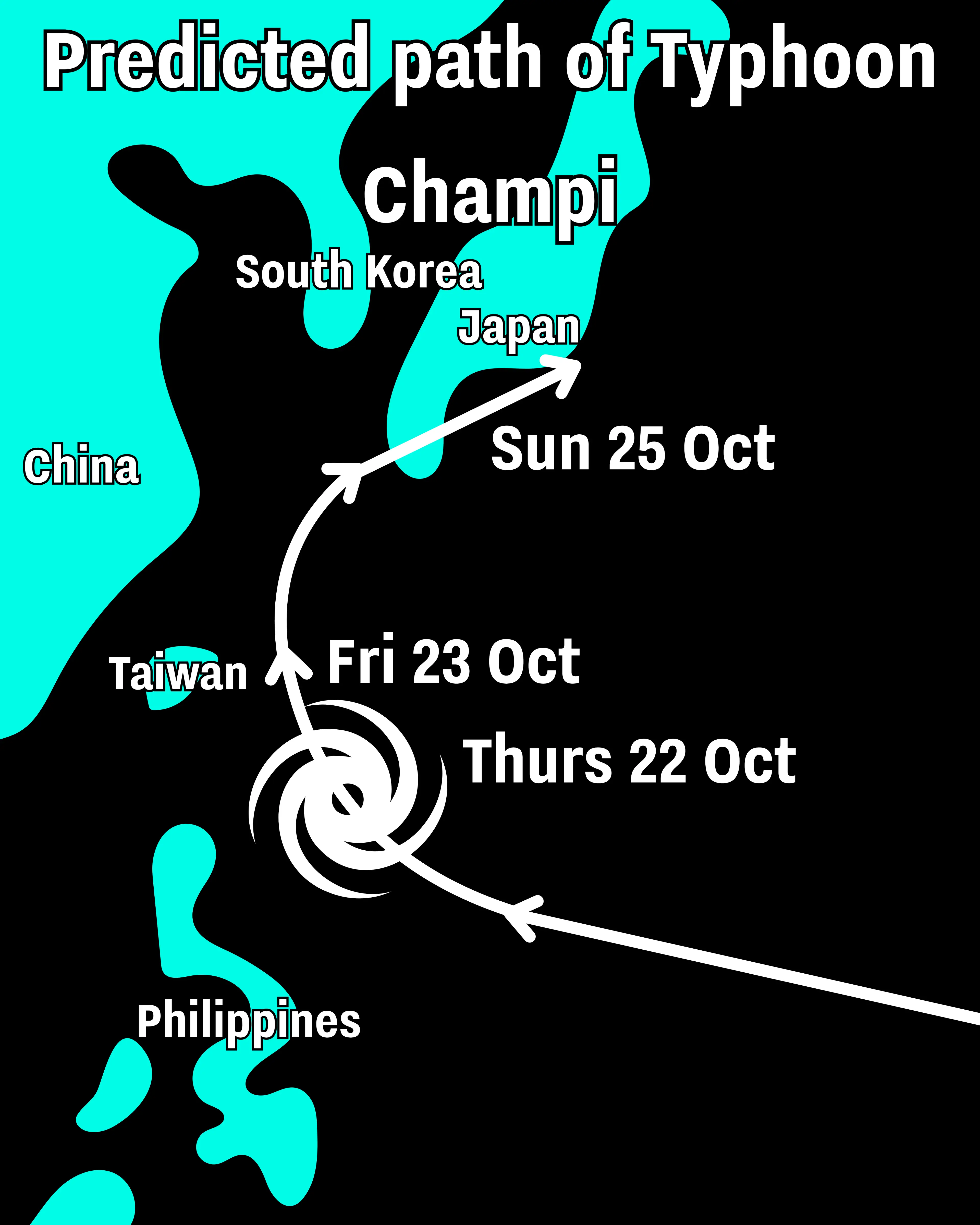
After skimming past northeastern Taiwan, the storm’s trajectory shows it turning north toward the Chinese coast before heading toward southern Japan.
Because Champi took a more westerly track toward Taiwan, impacts downstream in Canada are expected to reinforce an early-November pattern. Meanwhile, in Ontario and Quebec, the weather is expected to become more changeable and unsettled at times during the middle and later part of next week.
Topics: Climate Change, El Niño, Environment
 Joe Yates