Super El Niño now 90% likely to cause never-before-seen impact with four US states most at risk

Experts have warned that an incredibly rare Super El Niño could very likely be on the cards for the second half of 2026, potentially becoming one of the strongest events on record.
According to the National Oceanic and Atmospheric Administration (NOAA), El Niño conditions are already taking place in the tropical Pacific, with these conditions predicted to intensify as the year goes on.
The extreme weather likely to be caused by such a rare and powerful event could have catastrophic impacts across the United States, with four states most likely to suffer the consequences.
There have only been a handful of Super El Niño events on record since the 1950s, and experts now believe the strongest event so far could be right around the corner.
Advert
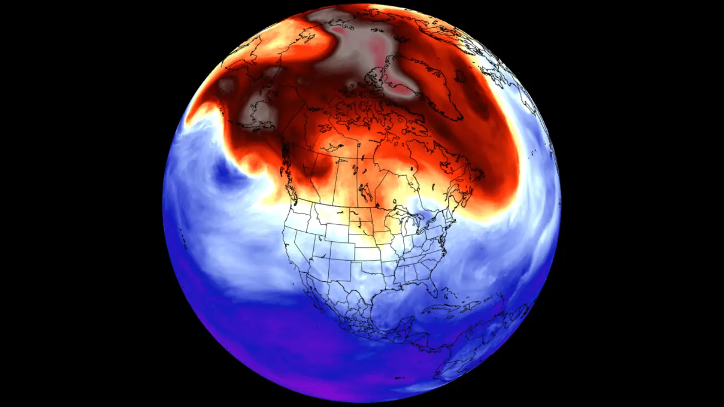
NOAA has now released its August forecast, which has revealed there is a 90 percent chance this El Niño will rank among the strongest on record over fall and winter.
This is up nine percent from the organization's July outlook, which predicted an 81 percent likelihood.
What is a Super El Niño?
While trade winds usually push warm surface water towards the western Pacific, during an El Niño, those trade winds weaken or even sometimes can reverse.
This causes warm water to spread eastwards towards the central and eastern Pacific, which can change where heat is then released into the atmosphere.
An El Niño then becomes a 'Super El Niño' when sea surface temperatures reach highs of at least two degrees Celsius for several months.
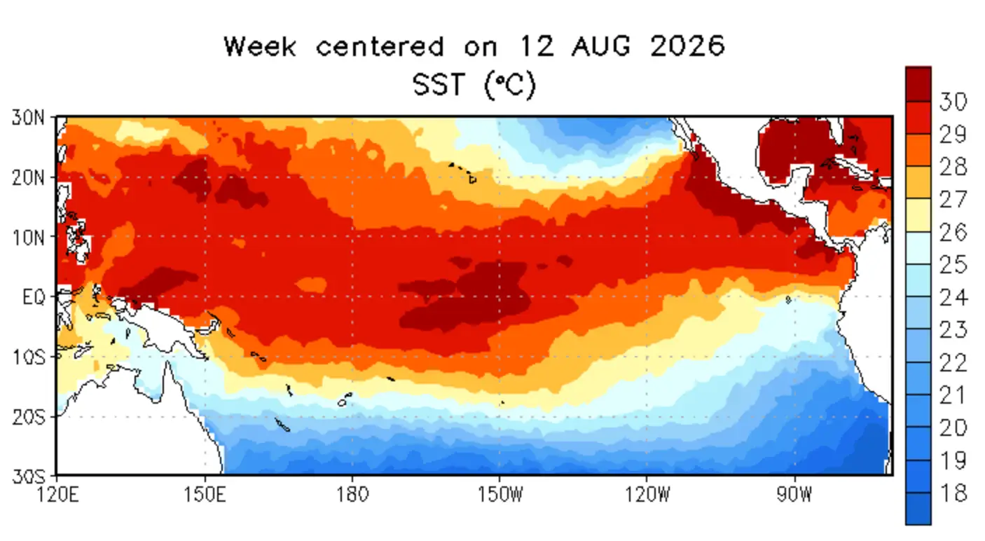
This increase in temperature can cause a huge knock-on effect, causing extreme weather in various different parts of the world.
In the US, it is likely to cause heavy rainfall and flooding, while Australia, Indonesia and parts of Southeast Asia may experience drought.
The four most affected states
While several US states are now preparing themselves for a harsh winter, there are four particular states that are predicted to face the most extreme weather as a result of the Super El Niño.
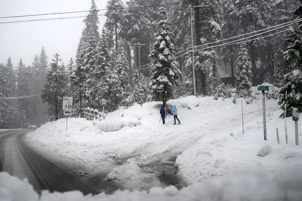
According to a map from Newsweek, the four states more likely to see 'significant snow' over the coming winter are New Hampshire, New York, Vermont and California, though specifically the Sierra Mountain range.
More generally, Johanna Infanti, a meteorologist at the NOAA’s Climate Prediction Center, explained that experts are predicting 'above-normal precipitation during the fall and winter seasons over much of the Southern US'.
"The highest probabilities for above-normal precipitation are over the Gulf States and parts of the Southeast to Mid-Atlantic, indicating the areas where we have the most confidence," Infanti said, adding: "The highest probabilities for above-normal precipitation are over the Gulf States and parts of the Southeast to Mid-Atlantic, indicating the areas where we have the most confidence."
 Emma Rosemurgey