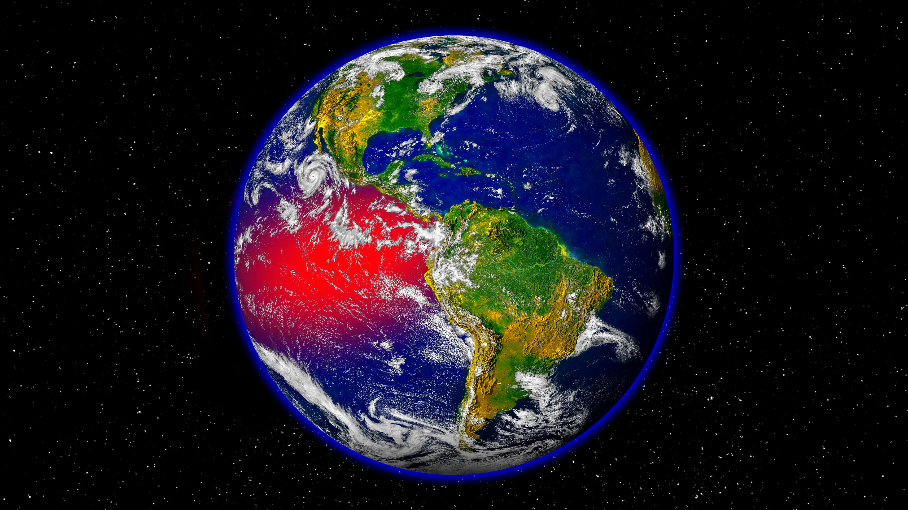
Terrifying Super El Nino simulation shows just how dangerous the 'Godzilla' weather phenomenon is

A chilling new simulation is laying bare exactly how dangerous the 2026 'Godzilla' El Niño could become, as forecasters warn it might turn out to be one of the strongest ever recorded.
The visualisation maps out how the supercharged weather phenomenon is expected to send ripple effects across the globe, from warmer winters in Canada to heavier rainfall battering the southern United States. South America faces the threat of serious flooding, while on the other side of the Pacific, Australia and Indonesia are bracing for drought.
The chain reaction starts thousands of miles away, with a weather system most people never think about: the trade winds.
Under normal conditions, steady trade winds blow from east to west across the Pacific, pushing warm surface water toward Indonesia and northern Australia, where it fuels tropical rainfall. Meanwhile, off the coasts of Peru and southern Ecuador, cold water stays put, keeping that stretch of coastline dry.
Advert
Every two to seven years, though, those winds weaken.
When they do, the warm water that's usually confined to the western Pacific spreads back east, and ocean temperatures in the region climb one or two degrees Celsius above average.
According to the simulation, that seemingly small shift is enough to send weather patterns into chaos on a global scale.
It's happened before, with devastating consequences. In the 1870s, a powerful El Niño was named as one of the contributing factors behind a famine that is estimated to have killed around 3% of the world's population at the time.
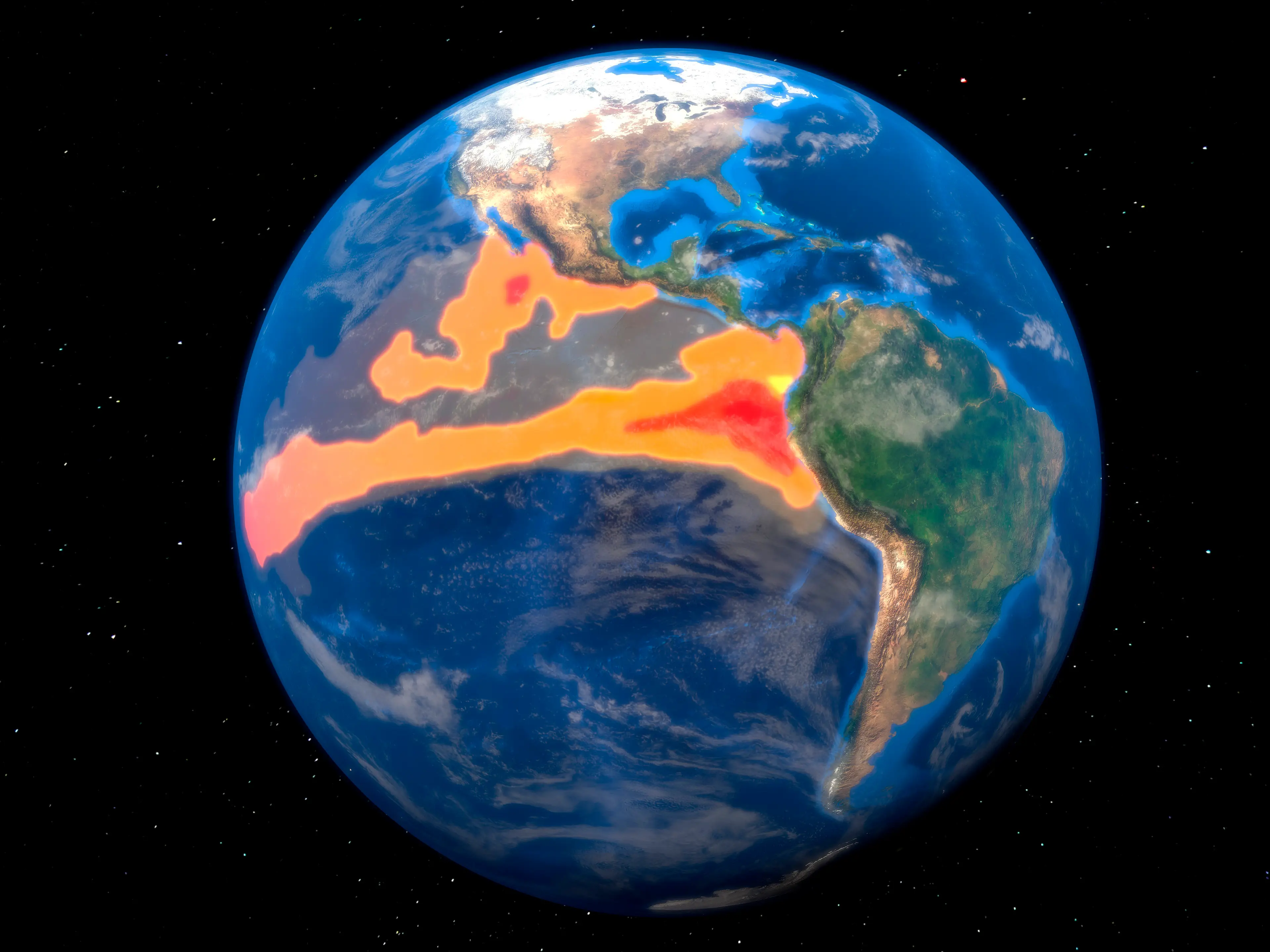
How strong could this El Niño get?
This is where the simulation's forecast gets alarming. It suggests water temperatures in the eastern Pacific could rise by more than three degrees Celsius above normal, as the ocean absorbs and then releases vast amounts of heat into the atmosphere.
That release doesn't just stay local.
As the heat spreads, it's expected to push up average temperatures worldwide, with 2027 tipped to potentially become the hottest year ever recorded, surpassing anything measured before it.
The simulation frames the trade winds as something like a natural cooling fan for the Eastern Pacific, one that's now grinding to a halt.
Without it, the usual balance between warm and cold water across the ocean breaks down, and with it, the predictable patterns that farmers, coastal communities and entire economies rely on.
For now, the event is still developing, and meteorologists will be watching closely over the coming months to see whether it lives up to the 'strongest on record' predictions currently being floated.
What's already clear from the simulation is that the effects won't stay confined to the ocean, they're expected to be felt on almost every continent, from flooded farmland in South America to parched conditions thousands of miles away in Australia and Indonesia.
Topics: Climate Change, El Niño, Environment
 Thomas Bamford