Expert reveals how vulnerable the US is as El Niño estimated to cause 450,000 deaths in nine months

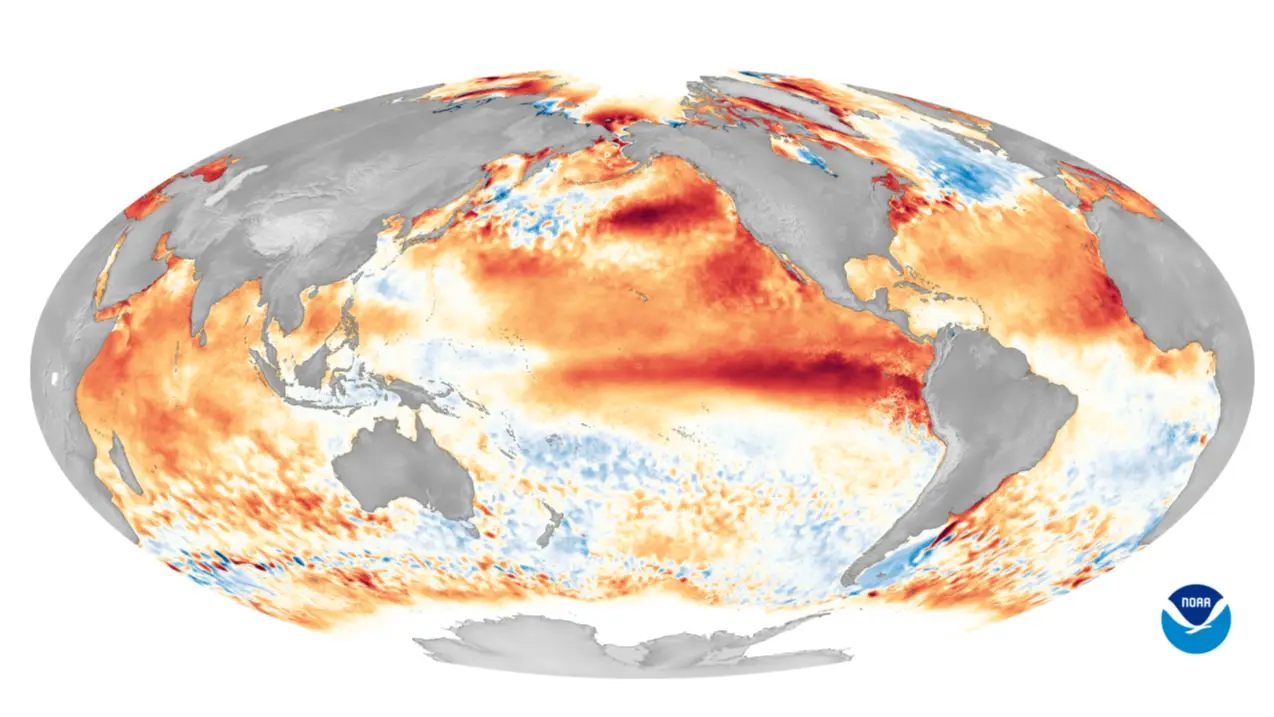
Sea surface temperatures in the central equatorial Pacific have now surpassed every previous recorded event, officially making the current El Niño the strongest on record.
And according to one estimate reported by Gizmondo, the unprecedented weather event could contribute to around 450,000 heat-related deaths over the next six months as it pushes global temperatures sharply upward.
Now, leading climate and disaster preparedness experts have warned that the US isn't ready for what's coming.
Jeffery Schlegelmilch, faculty director of the National Center for Disaster Preparedness at Columbia Climate School, put it bluntly: "The honest answer is no."
Advert
Schlegelmilch explained that while the country handles single, acute disasters reasonably well, it's far weaker at preparing for the kind of prolonged, unpredictable threat El Niño represents.
"El Niño is not a single disaster. It increases the odds for many disasters at once," he said, warning that overlapping crises across different states and countries could stretch mutual aid networks thin over several months.
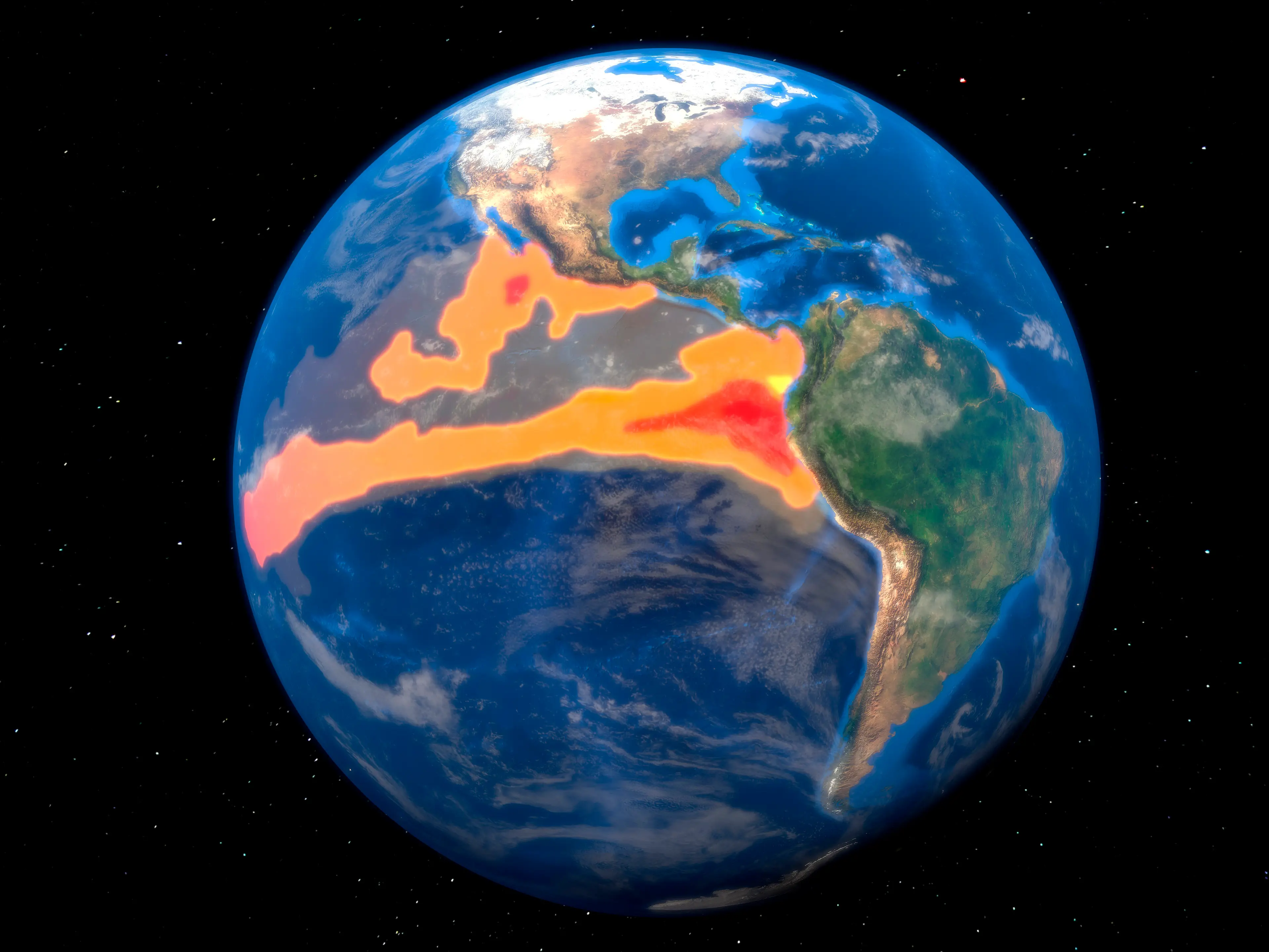
How strong is this year's El Niño actually going to get?
Models suggest sea surface temperatures won't peak until December, when they're expected to hit roughly 7 degrees Fahrenheit (4 degrees Celsius) above average. That extra ocean heat rises into the atmosphere and reshapes weather patterns worldwide, and climate scientists have warned that 2027 could see global temperatures resembling levels the planet wasn't expected to reach until around 2040.
Bethany Tietjen, a postdoctoral researcher at Tufts University's Climate Policy Lab, said preparedness efforts vary wildly depending on where you live. California communities are already running scenario exercises and fortifying infrastructure ahead of expected flooding, she noted, but planning elsewhere in the country appears far more limited, leaving the national response 'uneven across the country'.
Tietjen also pointed to federal funding instability as a major concern. FEMA's Building Resilient Infrastructure and Communities program was cancelled and then recently reinstated, she said, interrupting local resilience planning at a time when it's needed most.
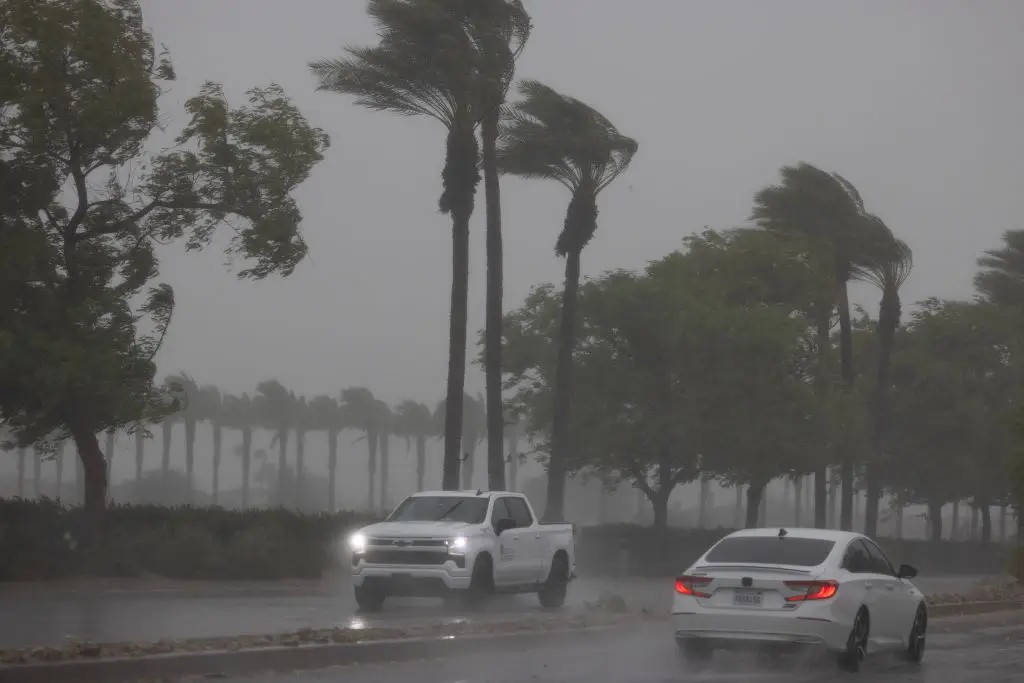
Which parts of the US are most at risk from El Niño flooding?
California is expected to bear the brunt of it. Daniel Cayan, a climate researcher at UC San Diego's Scripps Institution of Oceanography, said the state faces a rare but dangerous combination of extremely high sea levels, big waves and heavy rainfall, particularly if a major storm lines up with the king tides forecast for November, December and January.
Cayan drew comparisons to the winters of 1982 and 1983, when similar conditions battered the California coast, destroyed several piers and eroded beaches significantly, warning that 'some communities and residents are likely unprepared' if history repeats itself. He added that under 2% of California households currently hold flood insurance, despite living in areas where local floodplain rules make it available.
It isn't all bad news everywhere, though. Texas state climatologist John Nielsen-Gammon struck a more optimistic tone for the southern US, suggesting El Niño could bring wetter, cooler conditions between October and April that ease ongoing drought, alongside suppressed Atlantic hurricane activity.
"I have my fingers crossed," he said, though he cautioned that unusual conditions always carry the risk of extreme weather outside recent historical experience.
Topics: Climate Change, El Niño, Environment
 Thomas Bamford