New El Niño alert issued as polar vortex looms over US and Europe

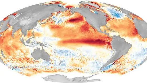
Federal forecasters say there is a greater than 90 percent chance of a 'very strong' El Niño this fall and winter, and meteorologists are now watching how it could mix with the polar vortex.
The National Oceanic and Atmospheric Administration's Climate Prediction Center (CPC) said in September that El Niño was strengthening.
It also put the odds of a historic event during October to December at 75 percent, one that would exceed the strength of previous El Niños dating back to 1950.
The CPC cautioned that for an event of this magnitude, impacts consistent with El Niño are 'larger, though not guaranteed'.
Advert
That could matter for the cold. AccuWeather meteorologist Chad Merrill told Newsweek that if the polar vortex weakens, it could 'swing the pendulum' toward a short burst of colder weather in parts of the US.
He stressed that it is not the whole story, calling the vortex only 'a small piece of a larger puzzle' for winter conditions across the country.
El Niño is the warm phase of the El Niño-Southern Oscillation, or ENSO, a recurring Pacific climate pattern that can affect weather worldwide. Its counterpart, La Niña, is the cool phase.
What is the polar vortex and how could it affect the US this winter?
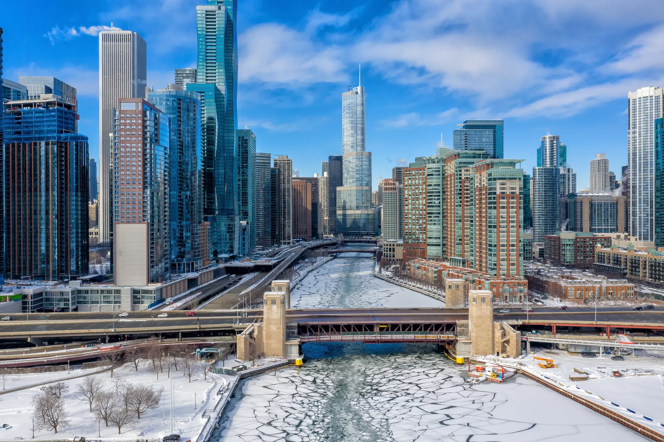
The National Weather Service describes the polar vortex as a large area of cold air and low pressure surrounding Earth's poles.
It is present year-round, weakening in the summer months and strengthening in winter. When it expands during winter, the agency says, it can send blasts of Arctic air southward over the US.
Merrill said the stratospheric version develops each year in late August and early September before breaking down in spring, usually dissipating by mid-May.
When the vortex is weaker than average, cold air can push into the Northern Hemisphere. Where it ends up, whether that is Europe, Asia or the US, depends on the large-scale pattern leading up to the disruption.
When could a polar vortex cold snap hit during a strong El Niño?
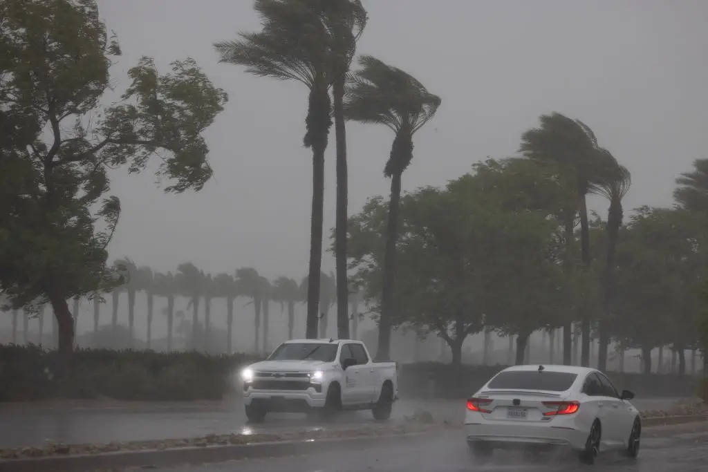
Merrill said the polar vortex tends to interact with a very strong El Niño during the second half of winter. If it weakens between mid-January and February, it could bring a short episode of colder-than-average temperatures to the northern US.
Once one begins, it can stick around. "When a cold air outbreak is triggered by the stratospheric polar vortex, it can linger in one region of the Northern Hemisphere for...up to two to three weeks," he said.
Even so, he said the vortex 'doesn't usually dictate the longer-term pattern for the back half of winter' during strong El Niños. He added that El Niño and the Pacific Decadal Oscillation, another Pacific climate pattern, would likely take precedence over the polar vortex in this winter's forecast.
Across the Atlantic, the Met Office, the UK's national weather service, has issued its own warning. It says a significant El Niño is expected towards the end of 2026, with forecasts predicting a brutal polar vortex and snow.
Professor Adam Scaife, the Met Office's Head of Long Range Prediction, told LBC: "We have been signalling for months that the developing El Niño will be an unprecedented event. The fact that it has already exceeded previous records - with several weeks to go before it peaks later this year - shows the enormity of this El Niño."
A Met Office spokesperson said: "Through the latter part of the winter, following a peak in El Niño, the stratospheric Polar Vortex can become weaker, leading to an increased chance of Sudden Stratospheric Warming (SSW) events unfurling, increasing the potential for cold weather." SSW takes place between 6 and 31 miles (10km to 50km) above the Earth's surface, and when it happens, cold air rushes downwards and 'blocks' the jet stream.
Dr Will Lang, the Met Office's chief forecaster, described the effect as a 'subtle shift in the odds' rather than a total certainty, with a 'heightened potential' for wet weather, stormy conditions and flooding.
Topics: El Niño, Climate Change
 Thomas Bamford