At least 16 US states face increased risk of flooding this winter as powerful El Niño strengthens

A powerful El Niño is set to drag on until 2027, with forecasters warning the different impact it’ll have around the US.
According to the National Oceanic and Atmospheric Administration (NOAA), an El Niño that has been building since before the summer could stay in place from between January to March 2027.
The researchers put it at a 79 percent chance, and have dubbed it one of the most powerful seen since the 1950s.
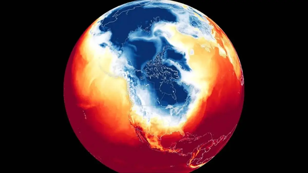
Last week, the NOAA warned the US that there will likely be warmer-than-average conditions across the North, and wetter weather across the South and East Coast.
Advert
There may also be snow, and wind to varying effects.
However, when it comes to who will feel it the most, apparently, per the US National Weather Service (NWS), the worst is to be seen in the winter months.
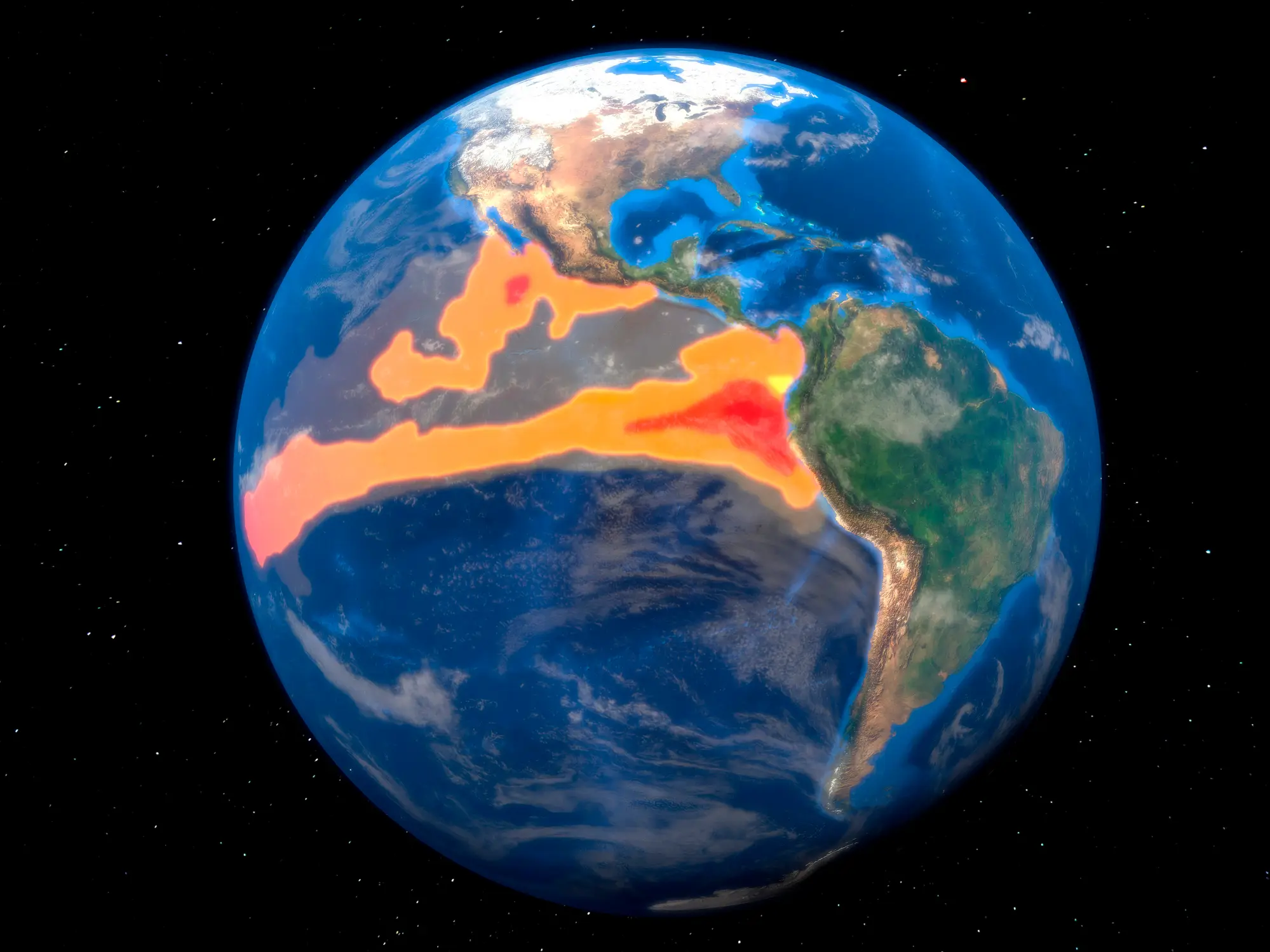
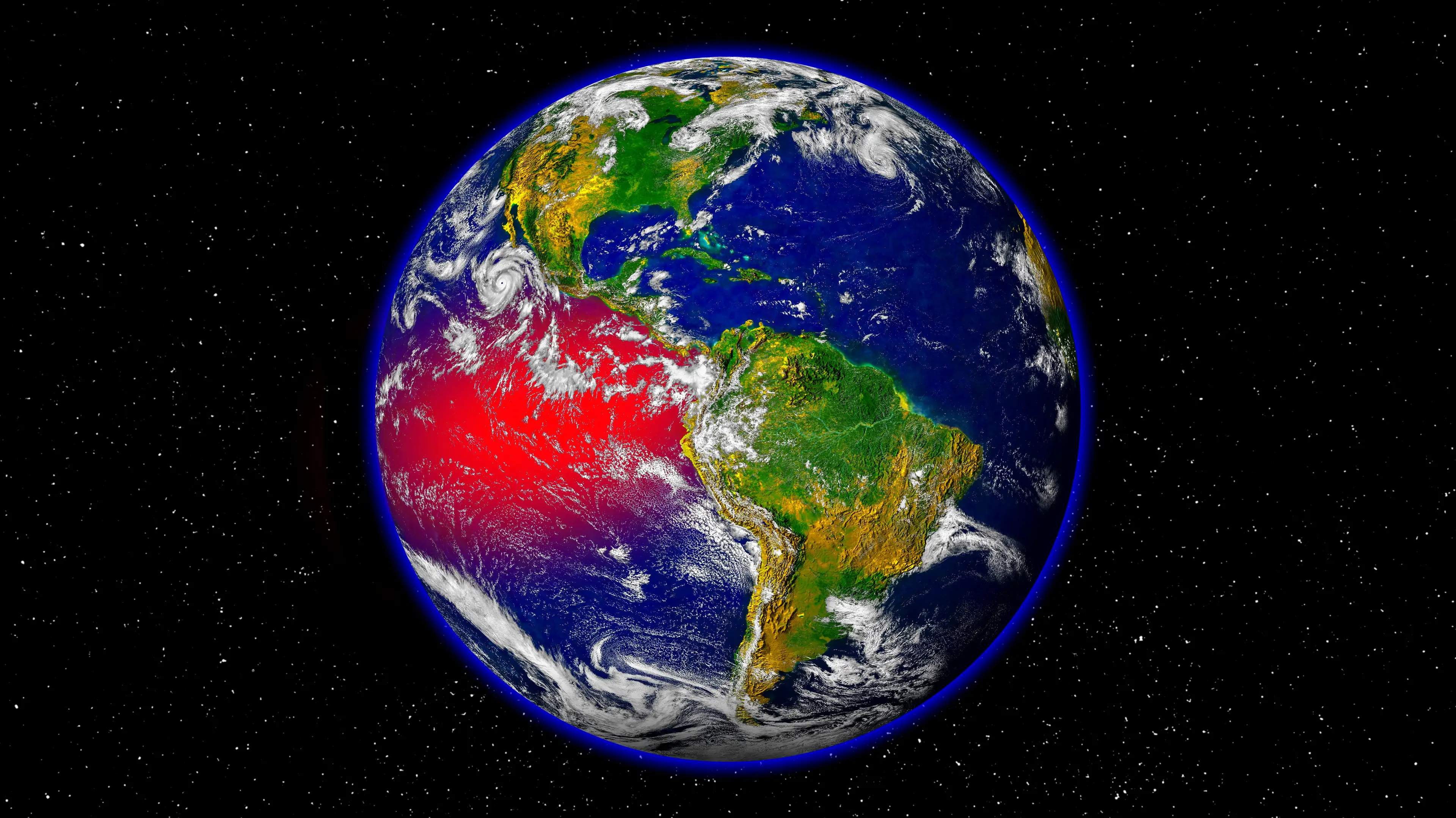
Now, if you don’t know, El Niño occurs when ocean surface temperatures in the central and eastern tropical Pacific become unusually warm, which then impacts the atmospheric circulation and moves the jet stream.
At this time, the next three months will allegedly see south-eastern states, including Florida, Georgia and the Carolinas, have the most chance seeing above-average rainfall.
California could also find itself in line for a very wet and rainy winter, with Governor Gavin Newsom already pre-emptively calling a state of emergency, ahead of predicted floods and mudslides.
The opposite is then set to take hold of north-west USA, Northern Plains and Ohio Valley as the Pacific jet stream is likely to cause warmer and milder winters there.
This means the locations are less likely to be flooded, however, the reduced rainfall can cause things like low water levels, drought and wildfires come spring and summer.
Ski resorts in the area will also face less snow.
Speaking of snow, as reported by the BBC, a lot of the northern part of the US and Canada, will see less snow and warm weather.
But in the south, there may be above-average precipitation, as well as large snowfalls in the Californian mountains and southern Rockies.
Washington DC is one of the locations set to see this occur.
Eastern Canada and the north-east USA may also see a rainy Christmas instead of snow this year as the weather warms up in the area.
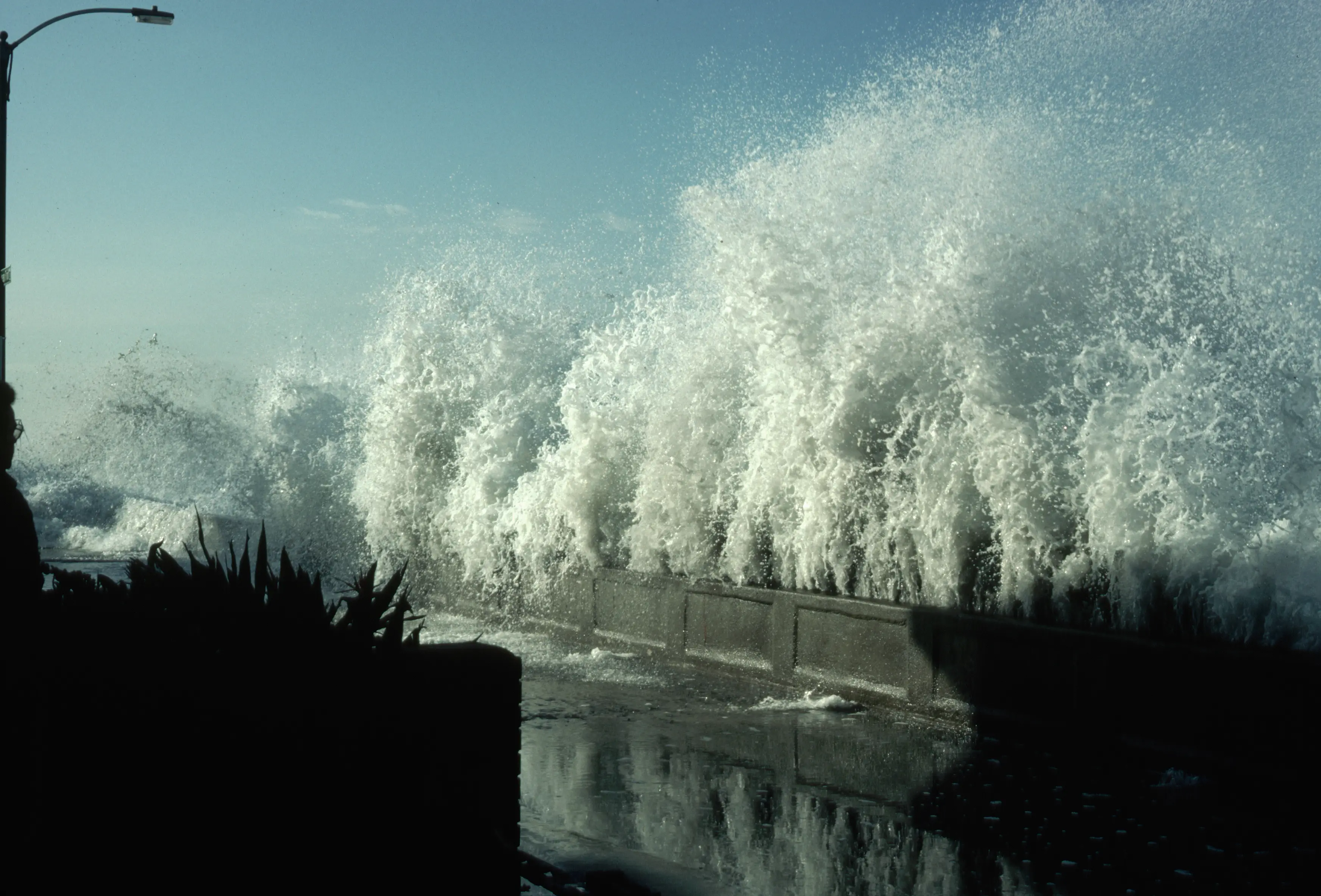
Or the rain can freeze, leading to icy conditions.
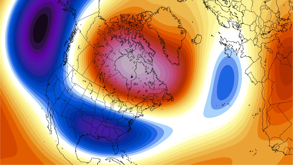
If all of this wasn’t enough, the weather services believe there could be a chance of a polar vortex, which is when a ring of strong winds over the North Pole and releases energy into the atmosphere.
This then weakens the polar jet stream and allows cold air to come into Canada and the USA.
But this has yet to be confirmed as being a confirmed risk.
The NOAA’s winter outlook for December 2026 through February 2027 indicates that the warmest locations will be Pacific Northwest, northern Rockies, Midwest, Mississippi Valley, much of the East and Alaska.
Parts of the Southeast, including Florida, should expect things to be almost normal, and wetter-than-average conditions are set to occur in the southern tier, from the Southwest through the South and into the Southeast, as well as along the East Coast.
Great Lakes, as well as central Alaska will be wet and so on.
 Britt Jones