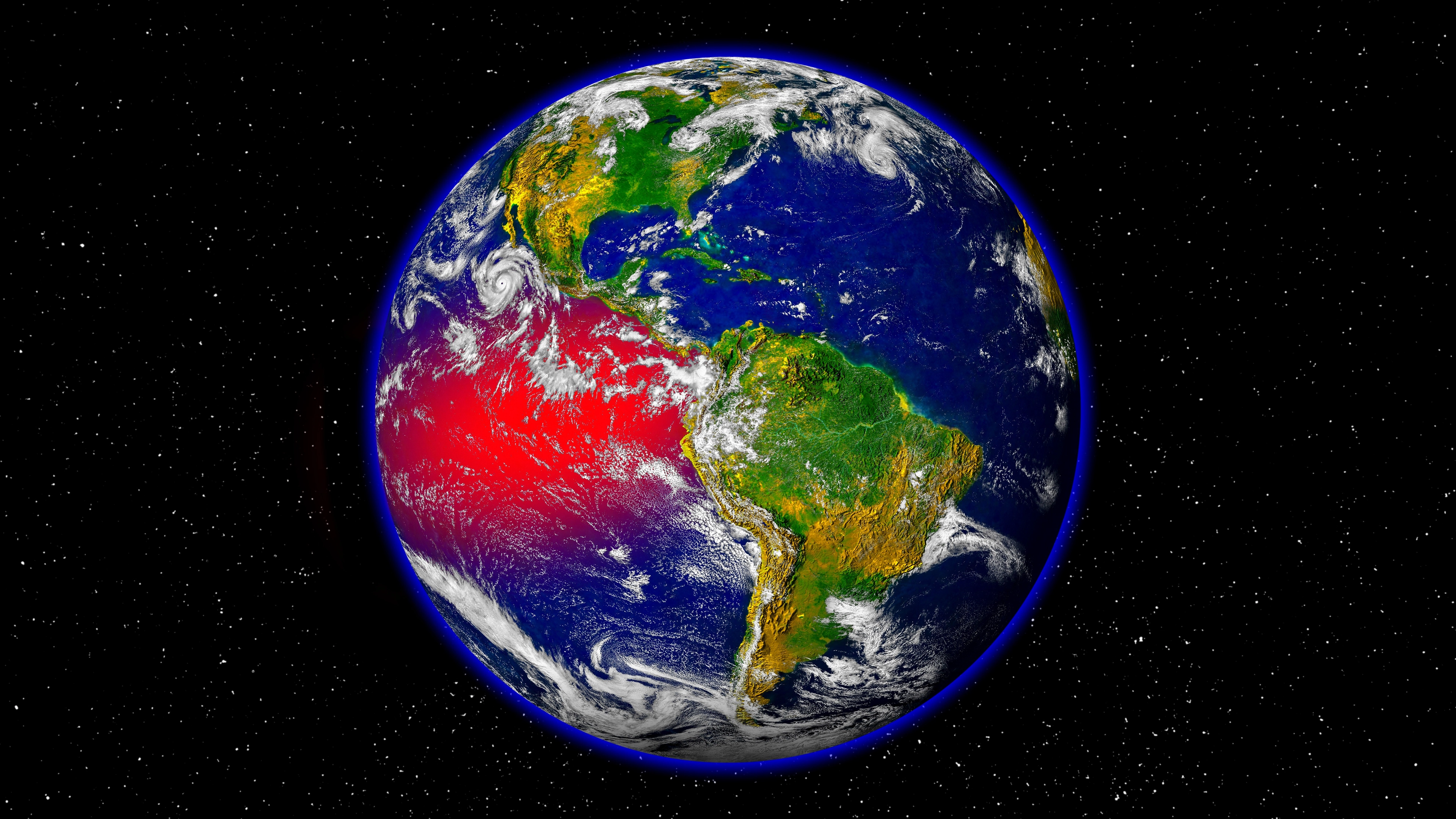
NOAA says powerful El Niño is likely to last into 2027 - what it means for America’s winter

A powerful El Niño is expected to remain in place into 2027, with forecasters warning that the climate pattern could shape temperatures and rainfall across the United States this winter.
The latest update from the National Oceanic and Atmospheric Administration (NOAA), issued Thursday (November 12th), puts the chance of El Niño remaining strong to very strong during January to March 2027 at more than 79 percent.
The chance of an event ranking among the most powerful since 1950 is around 60 percent.
The update comes as NOAA’s winter outlook points to a split across the country: warmer-than-average conditions are favored across much of the North, while wetter weather is more likely across the South and East Coast.
Advert
It does not mean every state will face a severe winter, or that a particular storm can be predicted months ahead.
El Niño occurs when ocean surface temperatures in the central and eastern tropical Pacific become unusually warm, affecting atmospheric circulation and shifting the jet stream.
NOAA’s assessment recorded the Niño 3.4 index at 2.5°C above average, up from 2.1°C in the previous monthly update.
Forecasters expect the event to strengthen further before easing in early 2027. El Niño conditions are favored to continue into spring.
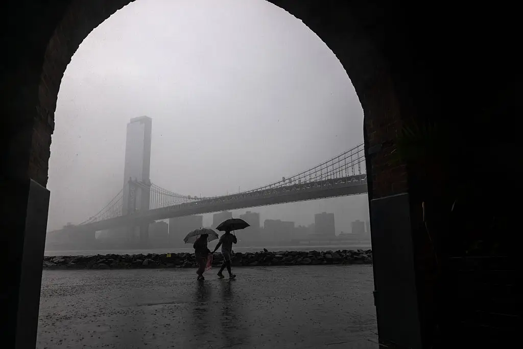
What the latest US winter outlook means for temperatures and rainfall
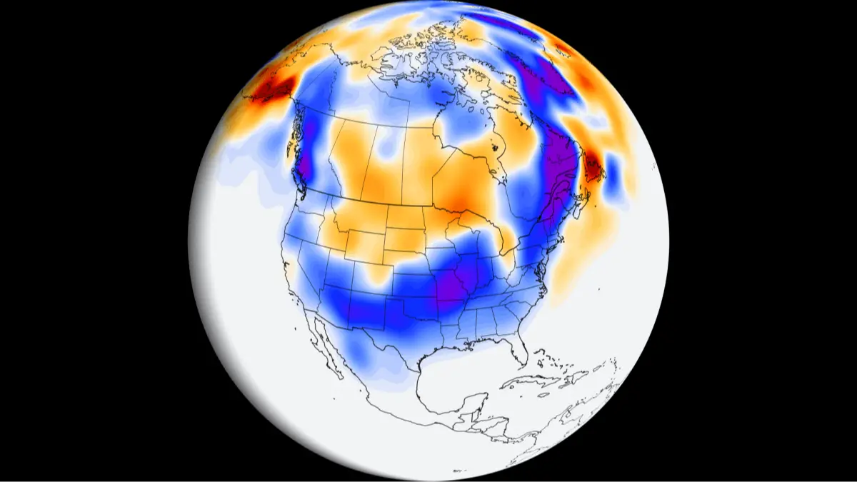
NOAA’s winter outlook for December 2026 through February 2027 indicates the greatest chance of above-average temperatures across the Pacific Northwest, northern Rockies, Midwest, Mississippi Valley, much of the East and Alaska.
Parts of the Southeast, including Florida, are more likely to have near-normal seasonal temperatures.
The precipitation map shows wetter-than-average conditions are favored across the southern tier, from the Southwest through the South and into the Southeast, as well as along the East Coast. The strongest signal for extra rainfall is in the Southeast and Florida.
Drier-than-average conditions are more likely in parts of the northern Rockies and Great Lakes, as well as central Alaska.
Elsewhere, some areas have 'equal chances', meaning the outlook does not favor above-, near- or below-average conditions.
NOAA links the pattern to a southward and eastward shift in the jet stream, which can steer more storms across the southern states.
Heavy rain falling on dry ground can increase the risk of flash flooding and mudslides, even where precipitation could help ease drought.
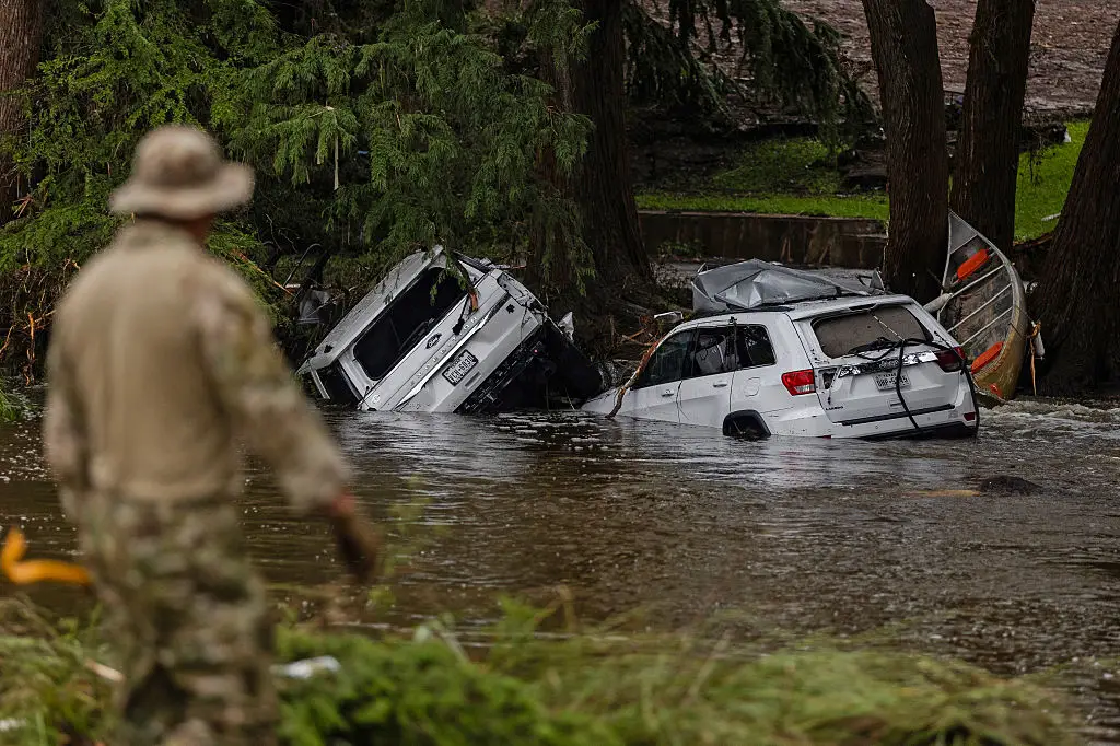
What NOAA’s seasonal winter maps can and cannot predict
The maps show probabilities for average conditions over three months, not a day-by-day forecast. They cannot say when a storm will arrive, how much snow a town will receive or whether a particular region will experience a blizzard.
NOAA does not issue seasonal snowfall totals because snow forecasts are generally not considered predictable more than about a week ahead. A warmer seasonal outlook also does not rule out individual Arctic outbreaks or disruptive winter storms.
The agency stresses that even a very strong El Niño makes its typical weather impacts more likely, not certain.
Local conditions can vary, and short-range forecasts and official warnings will be more useful as individual weather systems develop.
Topics: Climate Change, El Niño, Environment
 Thomas Bamford