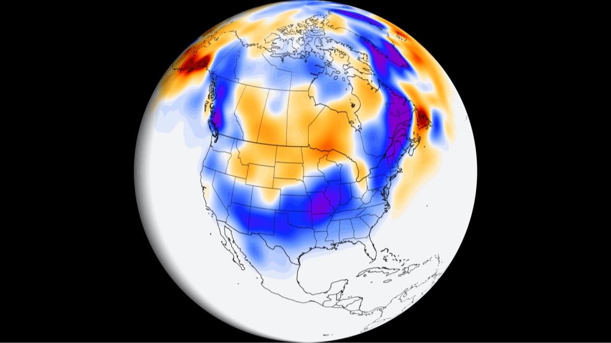
US winter could look very different this year as El Niño raises three huge weather risks

Meteorologists across the United States are bracing for a winter that looks nothing like we've ever seen before, with a record strength El Niño expected to shape the months ahead.
Forecasters have singled out three threats in particular: severe thunderstorms and tornadoes in Florida and parts of the East Coast, heavy rain and flooding in California, and a rise in powerful coastal storms across the North East.
Per Washington Post, which surveyed meteorologists in key regions, the effects should be felt more directly from November as El Niño strengthens the subtropical jet stream.
The risks could last through the first quarter or half of 2027.
Advert
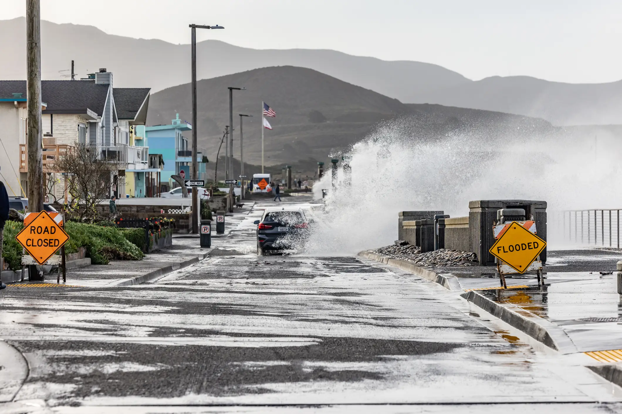
Some of the storms are expected to be a little more than a nuisance, where others could be far more serious.
Florida is expected to feel it first.
Tampa meteorologist Jeff Berardelli remembered being on air during the February 1998 Central Florida tornado outbreak, which came during another very strong El Niño, and describes that winter as 'extremely hectic'.
He expects frequent fronts and rain this time and sees real potential for severe thunderstorms and tornadoes, though he's unsure the atmosphere will turn as unstable as it did in 1997-98. "Either way, it will be one of the most active winters in Florida history," he said.
Fort Myers meteorologist Matt Devitt pointed to January 2016, when the city had more than a foot of rain, compared with about two inches in a typical January, and a strong tornado hit nearby Cape Coral.
The Post's El Niño tracker puts the chance of Miami's winter rainfall reaching the top 5 percent of historical values at 75 percent, which is 15 times higher than normal. Tampa's risk is 13 times higher.
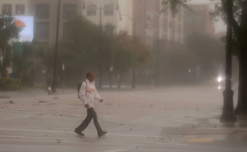
How much rain could California get this winter?
Across the West, the best odds of a wetter-than-normal winter stretch from California to New Mexico, offering some hope to drought-hit states.
California faces the sharpest warnings, though, with destructive storms most likely between January and March and a much higher than normal risk of widespread coastal and freshwater flooding, as well as strong winds. Climate scientist Daniel Swain showed in a live-stream that the most extreme scenarios deliver three to four years of rainfall in one winter across Southern California.
He also shared a prediction that coastal waters could run a 'record-shattering' 10 degrees Fahrenheit above average.
"That will literally add more water vapor to storms right as they are arriving, potentially making atmospheric rivers stronger," he said.
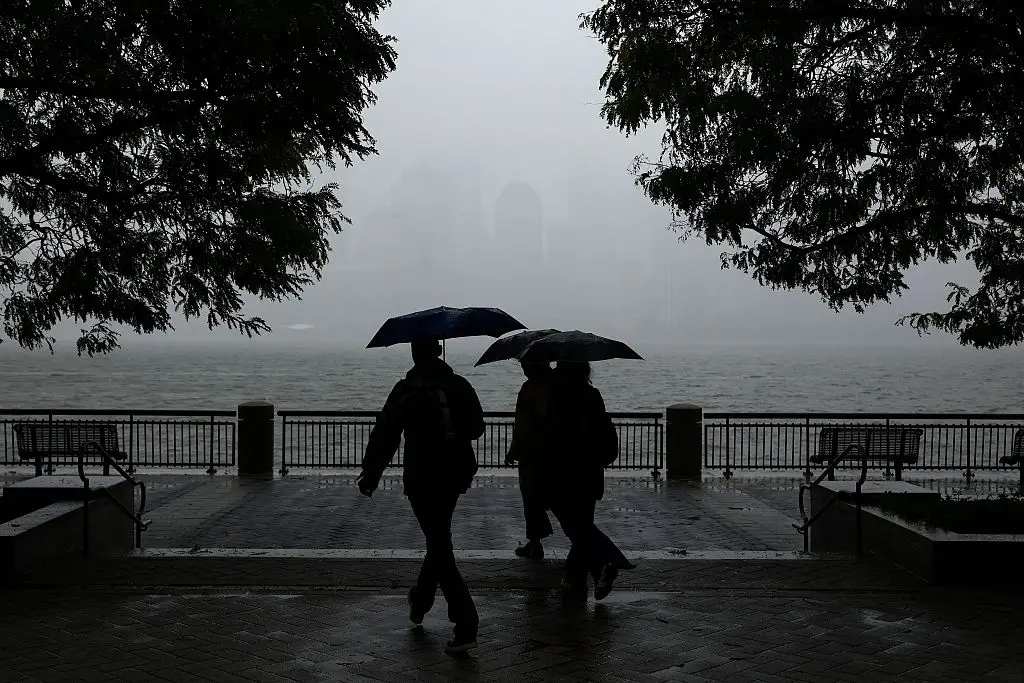
What will this winter be like on the East Coast?
Last winter was the coldest in a decade or more for swaths of the region, and Boston meteorologist Eric Fisher expects a much milder one this time. That doesn't mean calm weather. The same active jet stream is forecast to spawn around two times more strong storms than normal along the East Coast. New York meteorologist Pat Cavlin, who is reminding viewers of a damaging nor'easter in late September, said: "Our main concern across the Northeast is for a higher frequency of nor'easters, which can have substantial impacts on our beaches and coastal towns."
Snow is a different story. Cold air is often the limiting factor in strong El Niño winters, so Washington, D.C. is leaning toward less snow than normal overall. Even so, Capital Weather chief meteorologist Jason Samenow said the chances of at least one blockbuster snowstorm may be somewhat higher than usual.
Topics: Climate Change, El Niño, Environment, US News
 Thomas Bamford