Super El Niño looms as rare Tornado Watches in Arizona and New Mexico issued

Two historic Tornado Watches were issued for two states on Thursday.
Arizona issued its first Tornado Watch in 16 years and New Mexico its first in 28 years.
Renewed flash flood warnings were also issued across Arizona, Colorado, New Mexico and Utah after severe weather hit Arizona with 60 mph gusts, hail and flash flooding, in rare October weather reports Fox News.
The city of Hurricane, Utah experienced major flooding on Thursday with local officials issuing evacuation orders in response to water flooding residential neighbourhoods and the highway.
Advert
Utah Gov. Spencer J. Cox said on X, "We are closely monitoring the flash flooding in Hurricane. Our hearts are with the families whose homes and livelihoods have been impacted.
"Please follow all evacuation orders and local emergency guidance. We’re grateful to the first responders working to keep Utahns safe."
The forecast is set to continue into Friday, with rare severe weather hitting parts of the Southeast.
Flagstaff recorded winds of up to 72 mph on Wednesday.
At 7pm local time on Thursday, a storm under the Tornado Watch swept across Overgaard, 130 miles northeast of Phoenix.
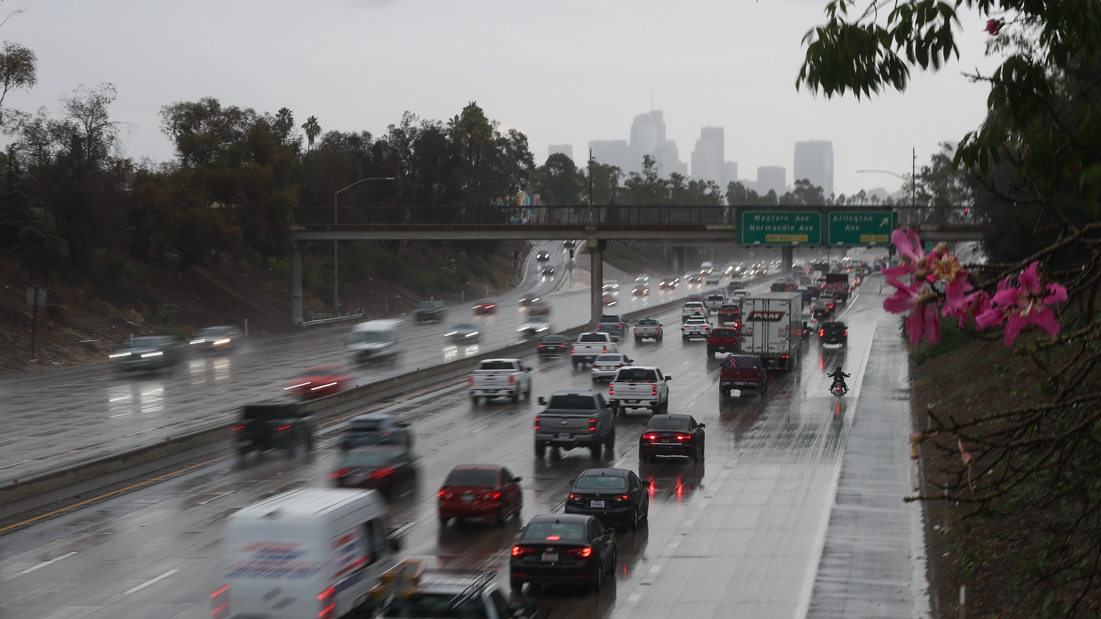
The rare weather was part of a storm system tracking over the West Coast which hit a wall of humid air lingering over Arizona on Wednesday. This system battered Southern California in parts, creating a tornado risk from Carmel to Los Angeles.
The National Oceanic and Atmospheric Administration (NOAA) issues a Level 2 risk of thunderstorms for parts of central and eastern Arizona and a Level 1 threat covered Nevada, many parts of Utah and Grand Canyon.
Winds and hail are believed to be the primary dangers.
Rare hail reaching 3 inches has been recorded near Flagstaff, the first in 16 years.
Thunderstorms laden with heavy rain leading to flooding could develop as the storm system heads towards the Rockies.
Flash flood warnings of Level 2 have been issued for New Mexico, Arizona, Colorado and Utah.
Evacuation orders were issued by the Archuleta County Sheriff’s Office and Town of Pagosa Springs along San Juan, Rio Blanco, Navajo and Piedra Rivers.
On Wednesday, areas within Central Arizona were placed under Level 3 weather threats for the first time since 2015.
This part of Arizona typically experiences heavy rain during its monsoon season from June to September.
The FOX Forecast Center reports the storms potentially indicate severe weather and increased frequency and power of storms across the south that could impact as winter approaches, due to the Super El Niño.
Previously, states in the southern USA have seen a shift in the jet stream during El Niño years, which draws in storms creating a corridor of severe weather and flooding.
Significant severe weather outbreaks have been recorded in the Gulf Coast, Southern Plains and Southeast during the El Niño years 1997-1998 and 2015-2016.
 Michael D. Carroll