US braces for 'biblical' storm as record-breaking waves threaten homes and millions face weather warnings

California could be facing around $725 billion in economic damage under a hypothetical megastorm scenario modeled by US scientists.
The scenario, known as ARkStorm, was presented by the US Geological Survey (USGS) and imagines weeks of relentless atmospheric rivers battering the state.
In the scenario, flood defenses would be overwhelmed, and millions of residents could be forced to evacuate.
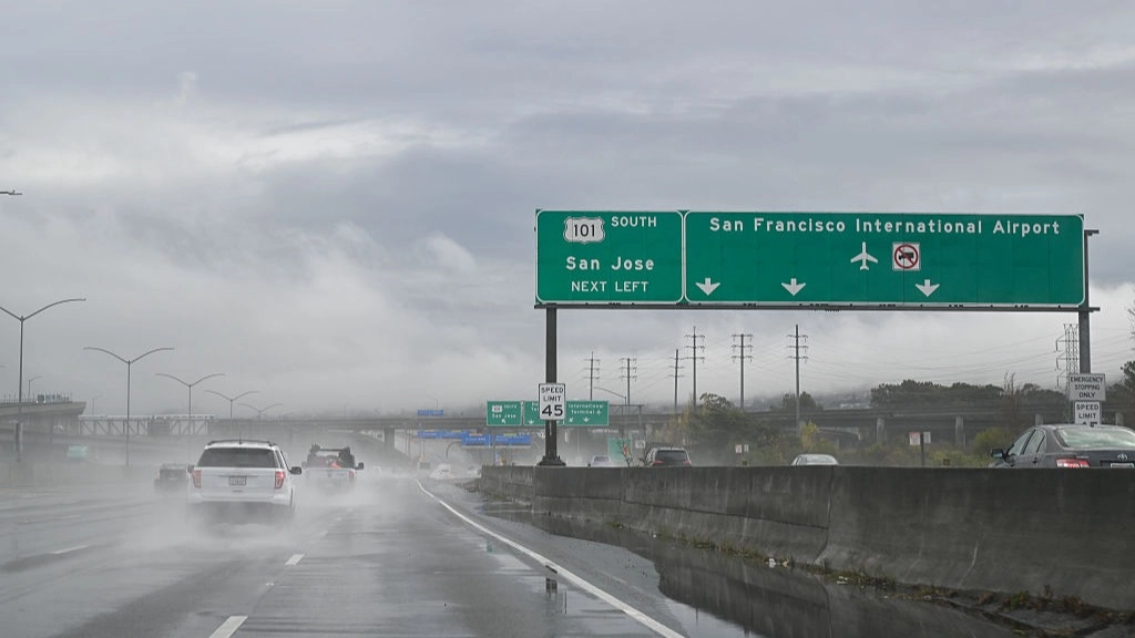
The presentation of the scenario comes as back-to-back atmospheric rivers pound the West Coast, with another powerful Pacific storm targeting California and threatening heavy rainfall and several feet of snow in the Sierra Nevada.
Advert
The USGS scenario puts the financial fallout at a heavy $725 billion. Direct property losses alone could approach $400 billion, covering damage to buildings, agriculture and critical infrastructure, while business interruptions could add another $325 billion.
Homeowners could be some of those hardest hit.
The USGS estimates only about 12% of California property is insured, and of the nearly $400 billion in projected direct property damage, just $20 to $30 billion could be recovered through public and commercial insurance, according to the agency's 2011 report.
What is the ARkStorm scenario?
The project was developed by 117 scientists, engineers, public-policy experts, insurance specialists and critical infrastructure employees, with the aim of helping emergency officials and government agencies prepare for a disaster that could affect every California county and economic sector.
The scenario draws on historical and geological evidence showing California has previously experienced extraordinarily powerful megastorms. The name ARk stands for Atmospheric River 1,000, referring to precipitation levels in some locations associated with events expected only once every 1,000 years.
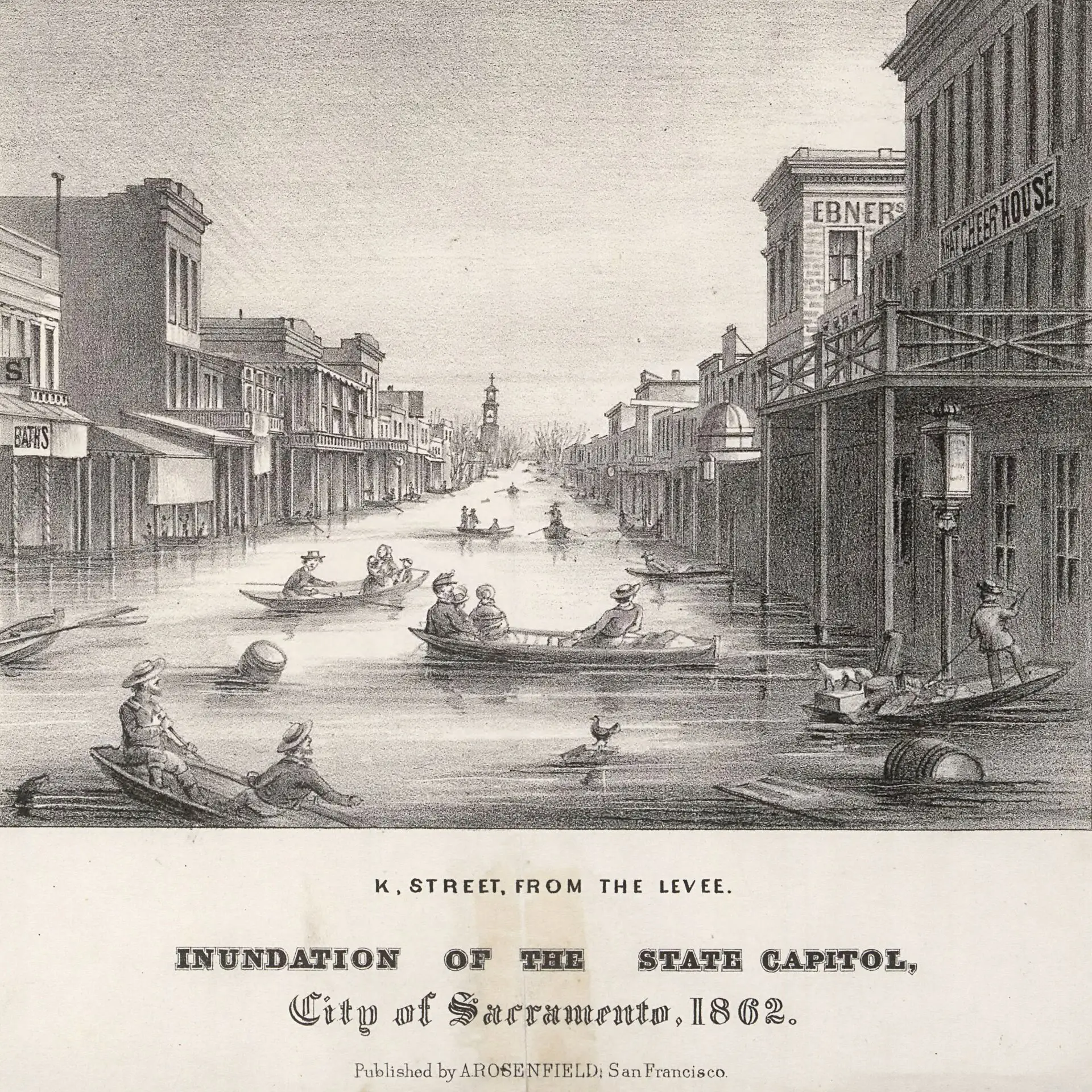
Researchers modeled their projections on historical storms, including the Great Flood of 1861-62, which devastated California and left the Central Valley impassable, as well as major storms in 1969 and 1986. Geological records show six megastorms over the past 1,800 years that were more severe than the 1861-62 flood.
California's existing flood-protection infrastructure was not designed for the conditions the scenario envisions.
Depending on location, flood defenses are built to protect against events occurring once every 75 to 200 years on average.
The scenario, however, involves 500-year streamflows across substantial portions of the state, which could overwhelm levees and other protective systems.

According to the model, the Central Valley could flood across an area 300 miles long and at least 20 miles wide. San Francisco Bay communities, Los Angeles, Orange County and San Diego could also face serious inundation, along with numerous coastal and river communities. The USGS estimates around 25% of the state's buildings could experience some degree of flooding during a single severe storm.
Winds could reach 125 mph in some locations, with broader areas seeing up to 60 mph. Hundreds of landslides could damage homes, roads and highways, while power, water and sewer systems could suffer extensive damage, with repairs potentially taking weeks and months,.
The flooding could force millions of residents in inland and Delta counties to flee their homes.
Topics: California, Climate Change, Environment, US News
 Thomas Bamford-Sidwell