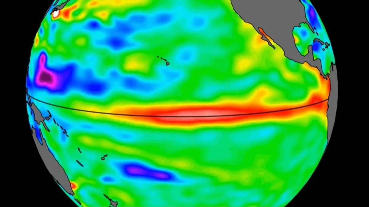
NASA releases new images of Super El Niño as satellite reveals rapid growth that could have dangerous impact

NASA has published images of a Super El Niño, highlighting the potential impact across North and South America.
The images show a large body of warmer water off the South American coast, a sign that this year is likely to see an extreme El Niño.
El Niño is connected to the surface temperature of the ocean, with a higher temperature having a widespread knock-on effect on the climate across North and South America.
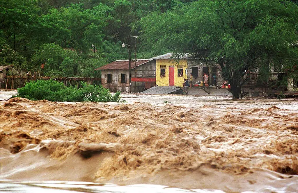
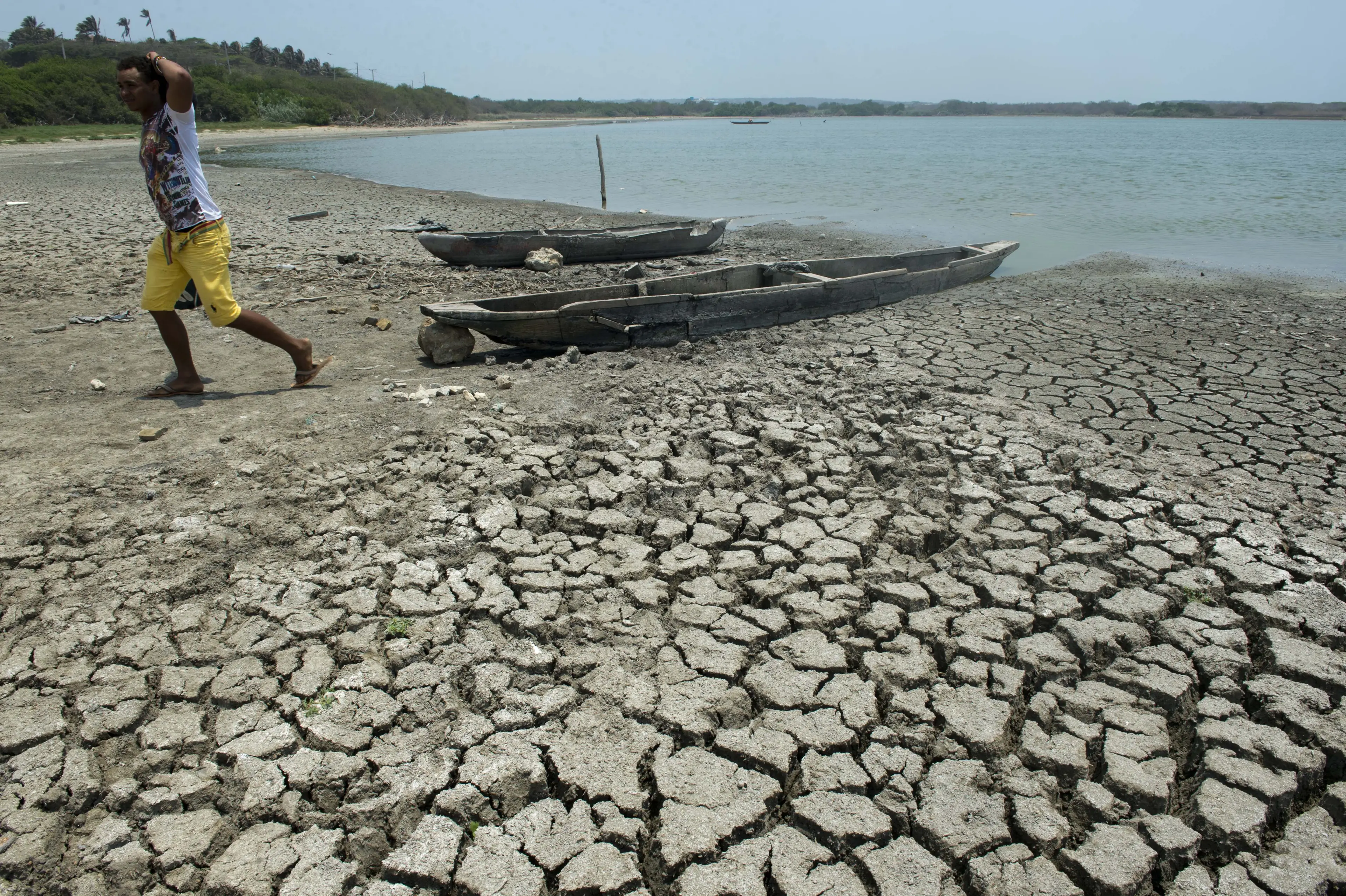
It can have hugely varied impacts depending on the location and effect, including everything from extreme flooding to extreme drought, as well as impacting on the hurricane season.
Advert
El Niño is a phenomenon which naturally occurs, and while it's not directly caused by climate change, scientist believe that rising global temperatures can exacerbate the extreme weather effects of El Niño when it occurs.
NASA's images have come from a collaboration between the US agency and European counterpart the European Space Agency, ESA,and come from the Sentinel-6 Michael Freillish satellite.
This satellite was launched back in 2020 and maps water height for the entire ocean, yes the entire ocean, to an accuracy of a fraction of an inch every 10 days.
It can also identify what's called warm Kelvin waves, which are the signs of El Niño.
Josh Willis is a project scientist for Sentinel-6 Michael Freilich, as well as a sea level researcher at NASA’s Jet Propulsion Laboratory in Southern California, and spoke about the signs of this year's El Niño
“While this year’s event started a bit later than the big El Niños of 2015 and 1997, it’s beginning to catch up,” he said, adding: “We’ll see how big it gets.”
But if El Niño is the ocean's surface temperature, what's a Super El Niño?
This is when the temperature spikes above a certain level, with a Super El Niño being a spike of two degrees celsius or more, or roughly the equivalent of 3.6 degrees Fahrenheit.
Nadya Vinogradova Shiffer is a lead program scientist at NASA Headquarters in Washington, and said: “NASA’s observation of El Niño uses sea level satellites like Sentinel-6 Michael Freilich to track massive Kelvin waves as they cross the Pacific, capture changes in Earth’s ocean thermodynamics, improve forecasts of weather extremes, and help communities prepare for potential coastal hazards,”
Severine Fournier is deputy project scientist for Sentinel-6 Michael Freilich, and explained that 'every El Niño is different', adding: “But they almost always make for a hot year and big changes in rainfall in parts of the globe.”
Topics: World News, Weather, US News, NASA
 Kit Roberts