Featured Image Credit: Michael Nagle/Bloomberg via Getty Images
It seems the worst of the winter weather is still to come, with the 'coldest air' of the season set to chill millions of Americans.
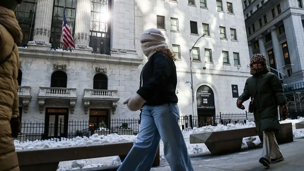
As if freezing fog and a 'bomb cyclone' storm weren't bad enough, some US states will face temperatures of -30F this weekend.
AccuWeather senior meteorologist Alex Sosnowski described the upcoming conditions as 'brutally cold', adding that it will impact 'more than 100 million people in the northeastern quarter of the nation as Arctic air lunges southward straight from eastern Canada'.
According to the National Weather Service, Extreme Cold Watches are in effect for parts of multiple states, including Maine, New Hampshire, Virginia and North Carolina, from Saturday evening (February 7) through Sunday (February 8).
Advert
Forecast offices warn wind chills could drop as low as 30 below zero in northern New England, with frostbite possible on exposed skin in as little as 10 to 30 minutes.

The cold air will be accompanied by periods of snow and strong winds, making it all the more dangerous.
Snow showers are expected Friday across portions of the Midwest, including Michigan, Indiana and Ohio, before spreading into the Appalachians and parts of the Northeast, as the Weather Prediction Center reported.
Light to moderate snowfall is forecast across New England and the interior Northeast, including the I-90 corridor from upstate New York into parts of Pennsylvania and Ohio.
Gusty winds - potentially exceeding 50 mph in some areas - are expected to worsen wind chill conditions.
The 'coldest air' this weekend will be concentrated across the interior Northeast and New England, where NOAA’s Weather Prediction Center forecasts wind chills in the minus-30s.

Single-digit or below-zero temperatures are expected across much of the Northeast, while dangerously cold wind chills may extend southward into parts of the Mid-Atlantic and eastern North Carolina.
Meanwhile, Pittsburgh, Pennsylvania, could see up to two inches of snow, as ABC News reports.
The National Weather Service has warned people in affected states to be prepared.
"An Extreme Cold Watch is issued when extremely dangerous cold conditions or wind chill values are possible, but the occurrence, location, and/or timing is still uncertain," its website explains.
Frigid temperatures, dangerous wind chills, and strong winds are forecast to enter the Northeast and Mid-Atlantic this weekend. Here are the latest Key Messages. Be sure to remain weather aware and stay warm! 🥶
— NWS Weather Prediction Center (@NWSWPC) February 4, 2026
Cold Weather Safety 🔗: https://t.co/yWyoCFw9jP pic.twitter.com/uB6DD1TCe8
"As with a Warning, adjust your plans to avoid being outside during the coldest parts of the day. Make sure your car has at least half a tank of gas, and update your winter survival kit."
If the watch becomes a warning, then the service advises staying indoors.
"If you have to go outside, dress in layers, cover exposed skin, and make sure at least one other person knows your whereabouts.
"Update them when you arrive safely at your destination."
Only 42 days until Spring!