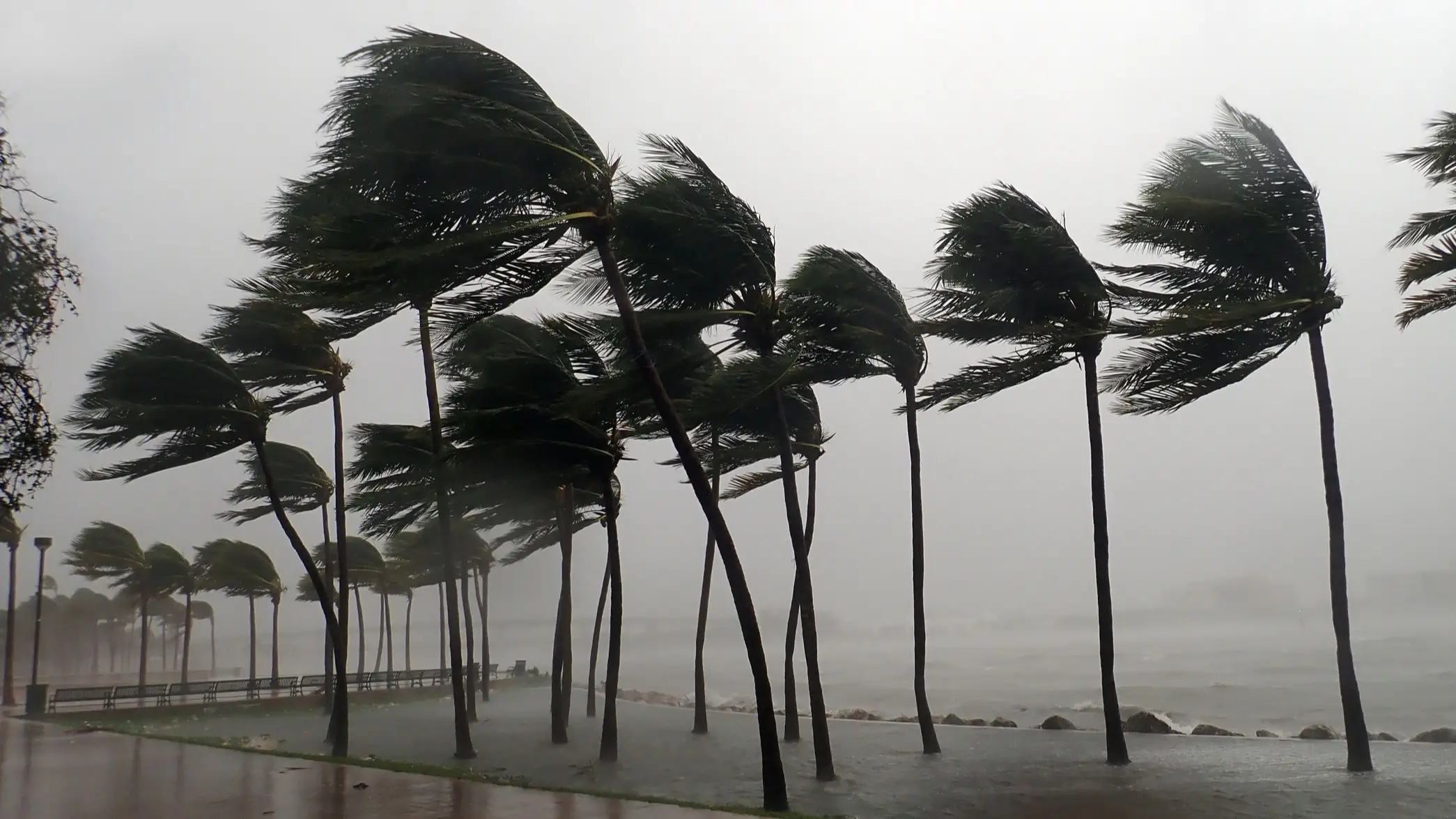
Hurricane Polo is most powerful cyclone US has seen in decades as warning issued

Hurricane Polo has grown into one of the most powerful Pacific cyclones seen in decades, sparking concerns over its impact.
The hurricane, which scientists have been monitoring, was expected to skirt along Mexico’s southwestern coast as a Category 1 storm.
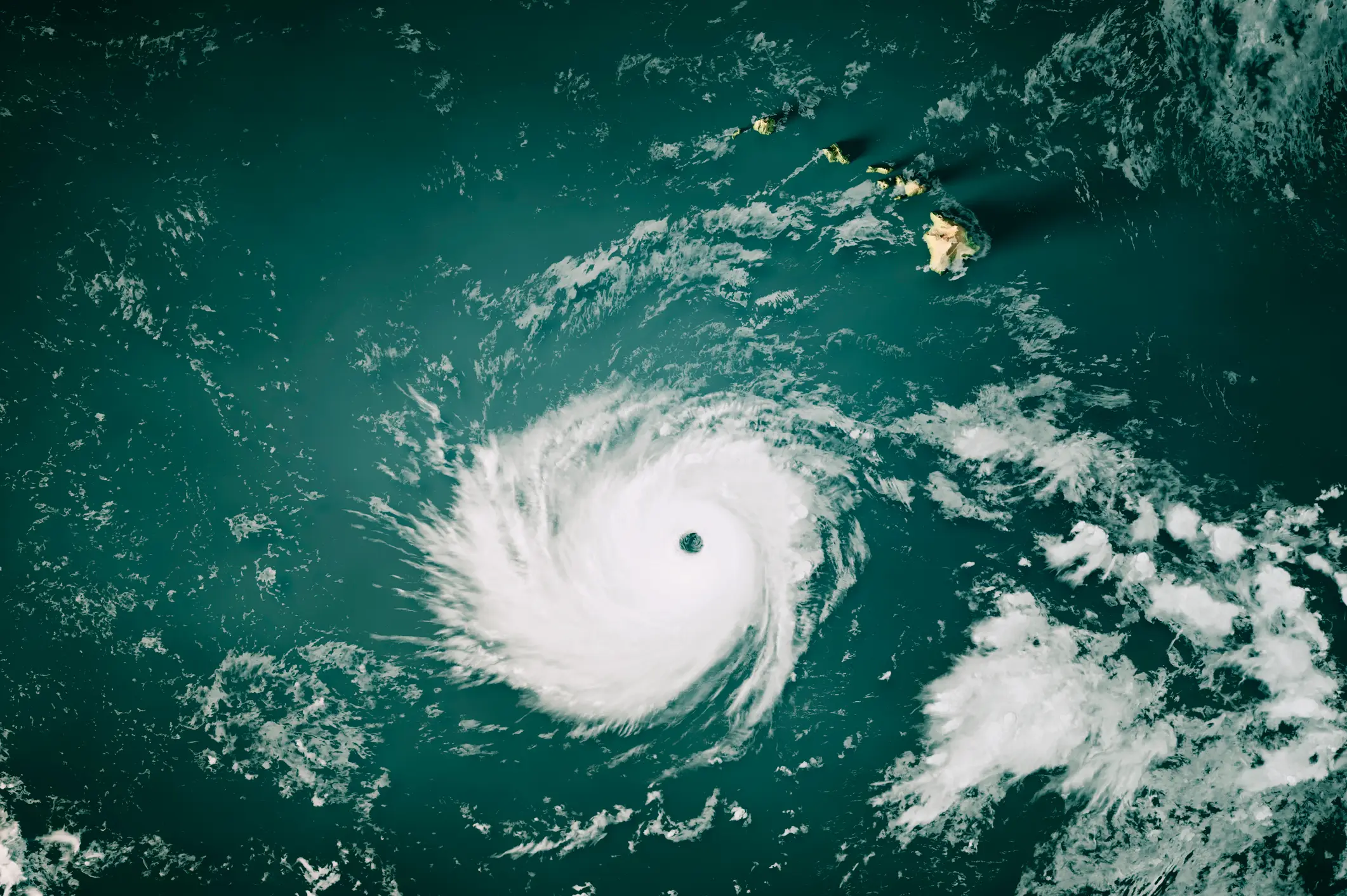
However, now, it has been peddled as being an ‘extremely dangerous’ threat with maximum winds of 165 mph, per the U.S. National Hurricane Center in Miami.
Worryingly, it transformed from a Category 1 to a Category 5 in the space of 24 hours.
Advert
As the third Category 5 hurricane of the Pacific season, following Genevieve and Lowell this year, Polo is sitting at the highest level on the Saffir-Simpson scale.
According to the U.S. National Hurricane Center, Polo reached levels only seen before in previous mega-hurricanes like Hurricane Patricia, which reached winds of 215 mph back in 2015.
“This is one of the strongest storms ever in the (Pacific) Basin,” said Kristen L. Corbosiero, professor at the University at Albany’s Department of Atmospheric & Environmental Sciences, per NBC.
In light of the fears along the Pacific coast in Guerrero, Michoacan and Colima, the risks of flooding, crashing waves and mudslides has led to Mexican authorities temporarily suspending classes across the area yesterday (September 22).
Mexico’s navy also shut down ports in Guerrero and Michoacán and then warned civilians and fishermen to be mindful of the conditions.
Researchers currently believe that the hurricane could bring about 3 to 6 inches of rain across Guerrero and Michoacán, and smaller bouts along Oaxaca, Colima and Jalisco.
The U.S. Embassy in Mexico has since issued a weather alert, and warned its citizens of the dangers around water and beaches.
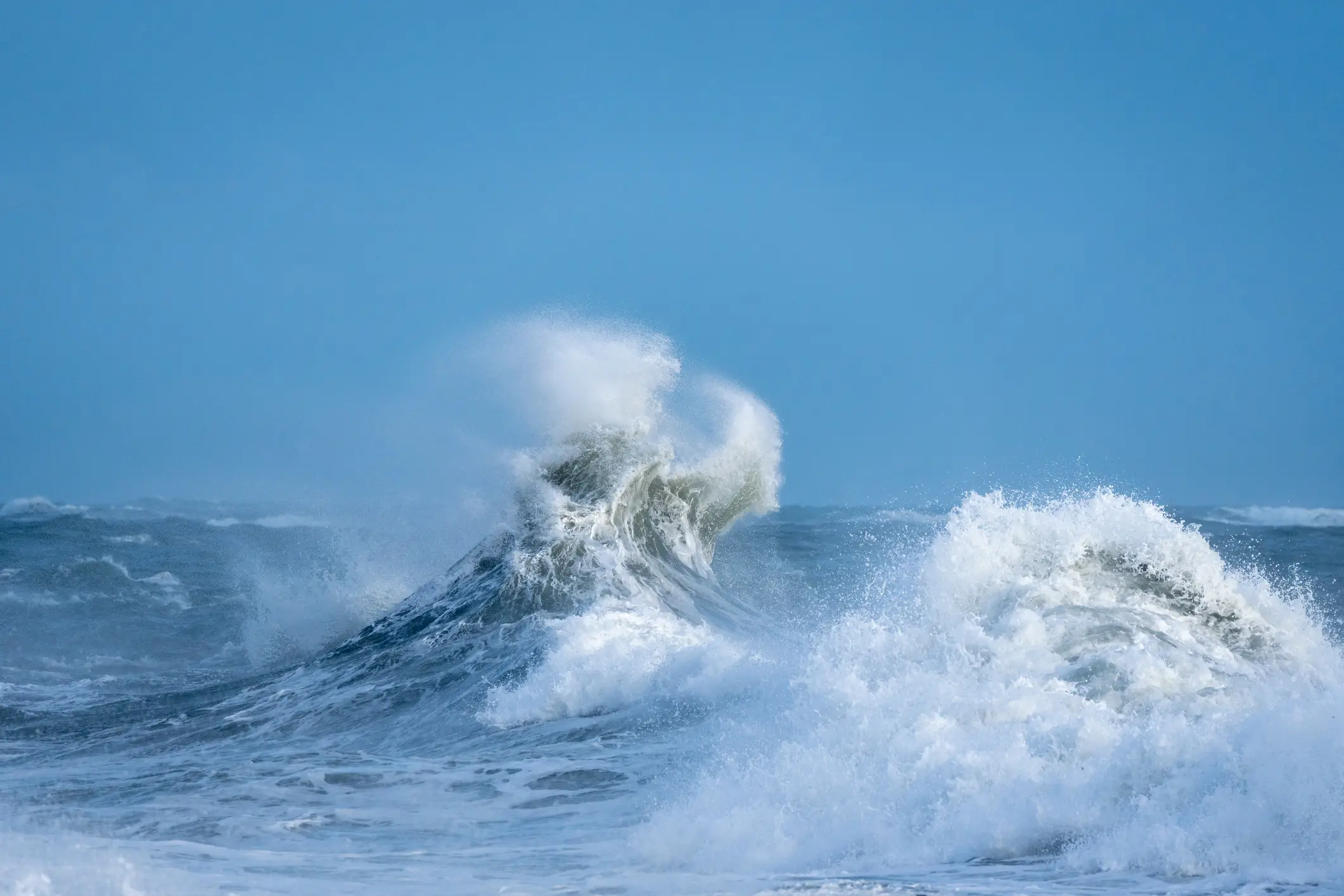
“Even if the storm does not make direct landfall, heavy rain may produce life-threatening flooding and mudslides. Hazardous ocean conditions—intensified by storms—may result in deadly rip currents and rogue waves,” the embassy wrote in a statement.
Polo was located 215 miles south of Zihuatanejo, and appeared to come to a standstill out in the Pacific Ocean yesterday evening.
However, it’s expected to stay as a dangerous threat throughout the rest of the week.
But there’s always the risk it could move and impact another area.
"Long-range models suggest that steering currents will likely push Polo on a more north-northwest track by that point, and that could bring Polo into Baja California and push a surge of moisture toward northwest Mexico and the southwest United States," Yale Climate Connections said.
In response to the quick chances Polo has been making, particularly at the start of the week, Mexico’s President, Claudia Sheinbaum said: “The National Civil Protection Coordination has informed me that Tropical Depression Seventeen-E in the Pacific has intensified into a Category 1 hurricane. Intense rains are expected over the next 72 hours along the coasts of Guerrero, Michoacán, and Jalisco. It is very important to stay tuned to official information from the National Meteorological Service and Civil Protection.”
 Britt Jones