Featured Image Credit: Lori Van Buren/Albany Times Union via Getty Images
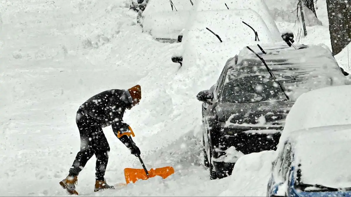
A 'bomb cyclone' is set to hit parts of the US shattering areas with heavy snow, blizzard conditions and dangerous winds making travel 'near impossible' in some areas.
From today (February 22), heavy snow and blizzard conditions are forecast to hit 'much of the Northeast and parts of the Mid-Atlantic,' National Weather Service (NWS) Weather Prediction Center reports in a post shared to X.
The center has warned of snowfall amounts of between 'one to two feet' and wind gusts measuring 'up to 40-70 mph' being possible 'along immediate coastal regions'.
The storm is expected to continue into tomorrow afternoon and has been named a 'bomb cyclone' as a result of its anticipated intensity.
Advert
A bomb cyclone is a storm which grows in strength at a rapid pace with pressure dropping 24 millibars within 24 hours, CNN reports.
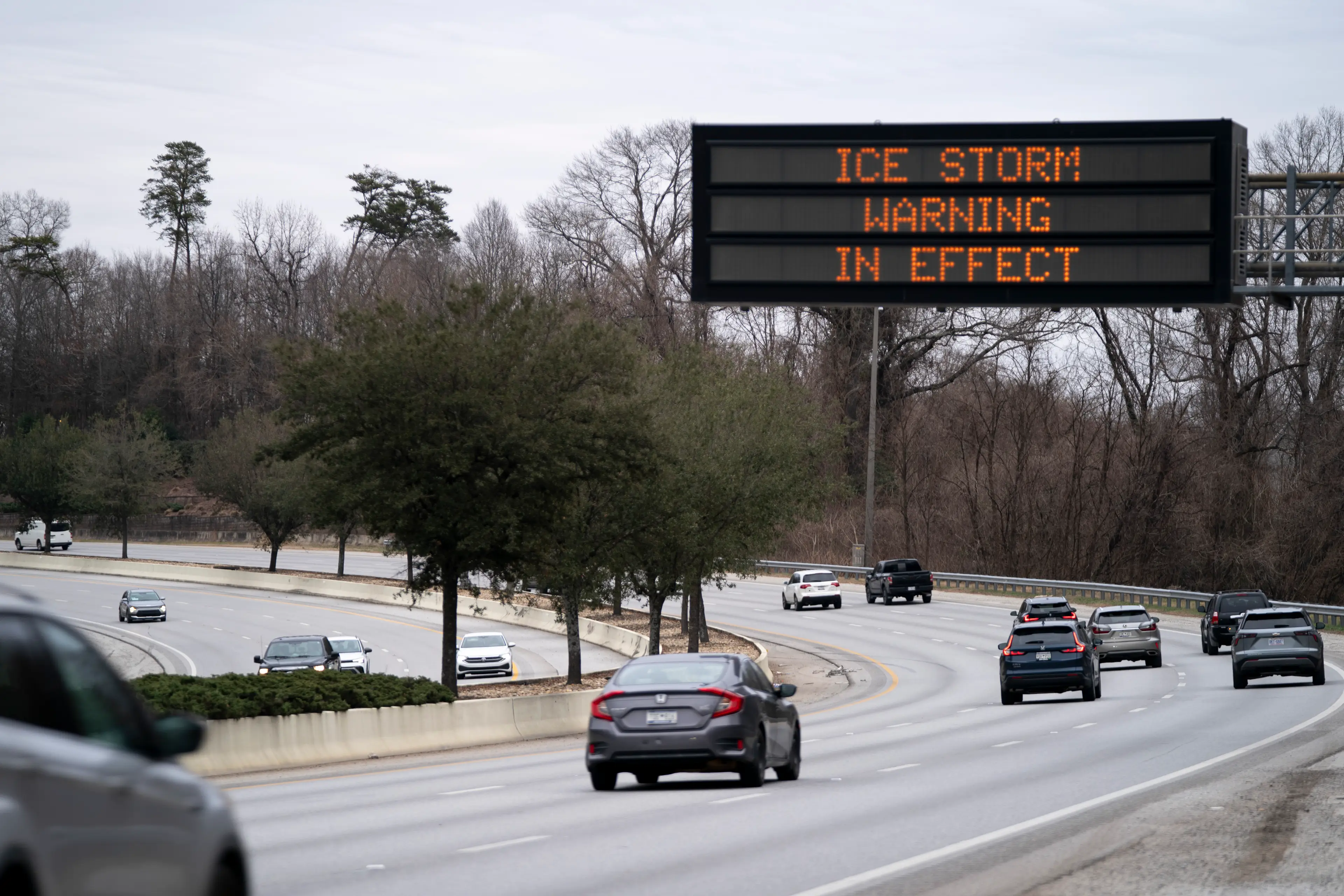
At the time of writing, there are weather advisories for 27 states. And New York City has received its first blizzard weather warning in nearly 10 years.
Towns and cities across multiple states have received a blizzard warning, including Western Norfolk, Northern Middlesex, Sussex, New York, Gloucester and others, detailed by CNN.
Washington, DC, is forecast between two and five inches of snow, with New York City set for a potential 12-18 inches.
Meterologist Allan Nosoff even took to X to reveal he's seen 'a model blend of nearly THIRTY INCHES in New York City'.
"This storm could rival that blizzard for one of the strongest EVER recorded in the city's history," he added.
Although, he noted 'while 30 inches is possible, literal perfection has to occur with the banding location over the city,' and so his forecast remains between 12-20 inches.
Coastal New Jersey is currently set to be worst hit by snow with a predicted 20-28 inches.
NWS Mount Holly posted to X: "Snowfall records are likely to be broken."
And NWS has explained how the storm is expected to impact people's day-to-day.
NWS has warned the snowfall will result in 'near impossible travel conditions,' in part because 'sharply reduced visibility will make [it] extremely treacherous across some areas'.
"These strong winds, combined with the weight of heavy, wet snow, will likely result in scattered to numerous power outages," it added.
Pardon my French, but HOLY CRAP. ❄️🤯
— Allan Nosoff (@AllanWeather) February 21, 2026
I have NEVER seen a model blend of nearly THIRTY INCHES in #NYC, ever. Not even 2016 had THIS.
This storm could rival that #blizzard for one of the strongest EVER recorded in the city's history ⚠️ pic.twitter.com/kygl24bSJ0
'Moderate coastal flooding' is also anticipated 'with inundation of roads and properties near the waterfront, is most likely from Delaware to Cape Cod'.
NWS has advised people to check they have an updated first aid kit, keep their phone charged and on for Wireless Emergency Alerts, alongside ensuring to have warm blankets, clothes and medications with them.
Yesterday, New York Governor Kathy Hochul declared a state emergency for multiple counties.
New Jersey Governor Mikie Sherrill declared a state of emergency from Sunday noon.
New York Mayor Zohran Mamdani said during a press briefing: "I am asking all New Yorkers to stay inside and stay off the roads for your safety."
Most of the snowfall is expected to end by Monday evening.