Mystery of ‘phantom island’ that disappeared after hundreds of years
Topics: World News, Travel, Science, Google Maps
 Callum Jones
Topics: World News, Travel, Science, Google Maps
The mystery of the so-called 'phantom island' that disappeared off maps after hundreds of years is one that has left people scratching their heads for years.
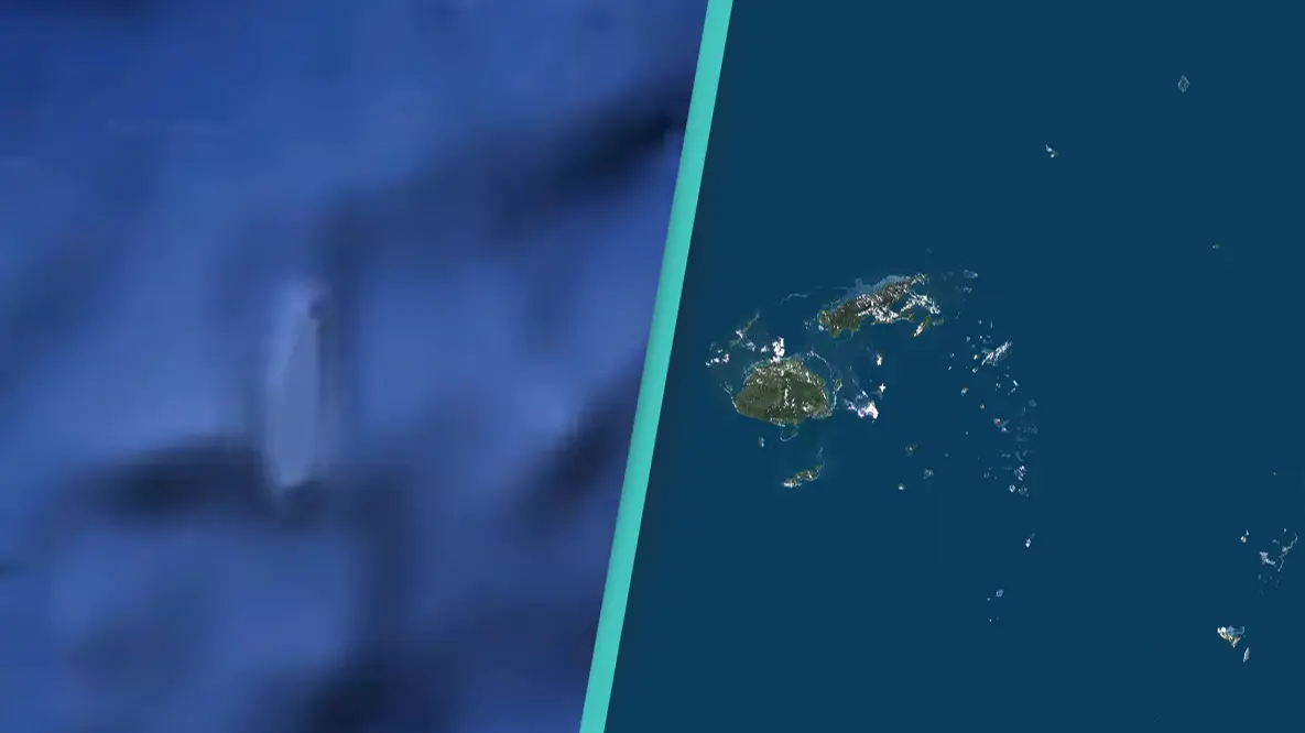
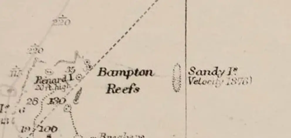
Experts were left baffled after the piece of land - also known as Sandy Island - in the South Pacific seemingly vanished off the face of the Earth after appearing on maps for some 200 years.
Later dubbed 'phantom island', the land in-between Australia and New Caledonia ceased to exist after many explorers over several years failed to pinpoint its exact location.
As technology advanced in recent years and we ditched physical maps for digital ones, the island even began appearing on the likes of Google Maps.
Advert
This led to researchers undertaking missions to go out and find the mysterious island, as no one had ever actually seen it despite it being on digital maps.
However, experts failed to pinpoint a piece of land at the supposed location, let alone an entire island.
Scientists from the University of Sydney found only the blue ocean of the Coral Sea after a 25-day voyage.
Scientist Maria Seton, who was on the ship, told the AFP news agency: "We wanted to check it out because the navigation charts on board the ship showed a water depth of 1,400m in that area - very deep.
"It's on Google Earth and other maps so we went to check and there was no island. We're really puzzled. It's quite bizarre.
"How did it find its way onto the maps? We just don't know, but we plan to follow up and find out."
Australian newspapers have since reported that the invisible island would sit within French territorial waters if it existed.
The thing is, it doesn't exist, plus, the 'phantom island' does not feature on French government maps.
Perhaps the most surprising element was the fact the island featured on Google Maps.
A spokesperson for the tech company said it consults a variety of authoritative sources when producing its maps.
"The world is a constantly changing place and keeping on top of these changes is a never-ending endeavour," they added to AFP.
In November 2012, Google removed the island from its maps application.
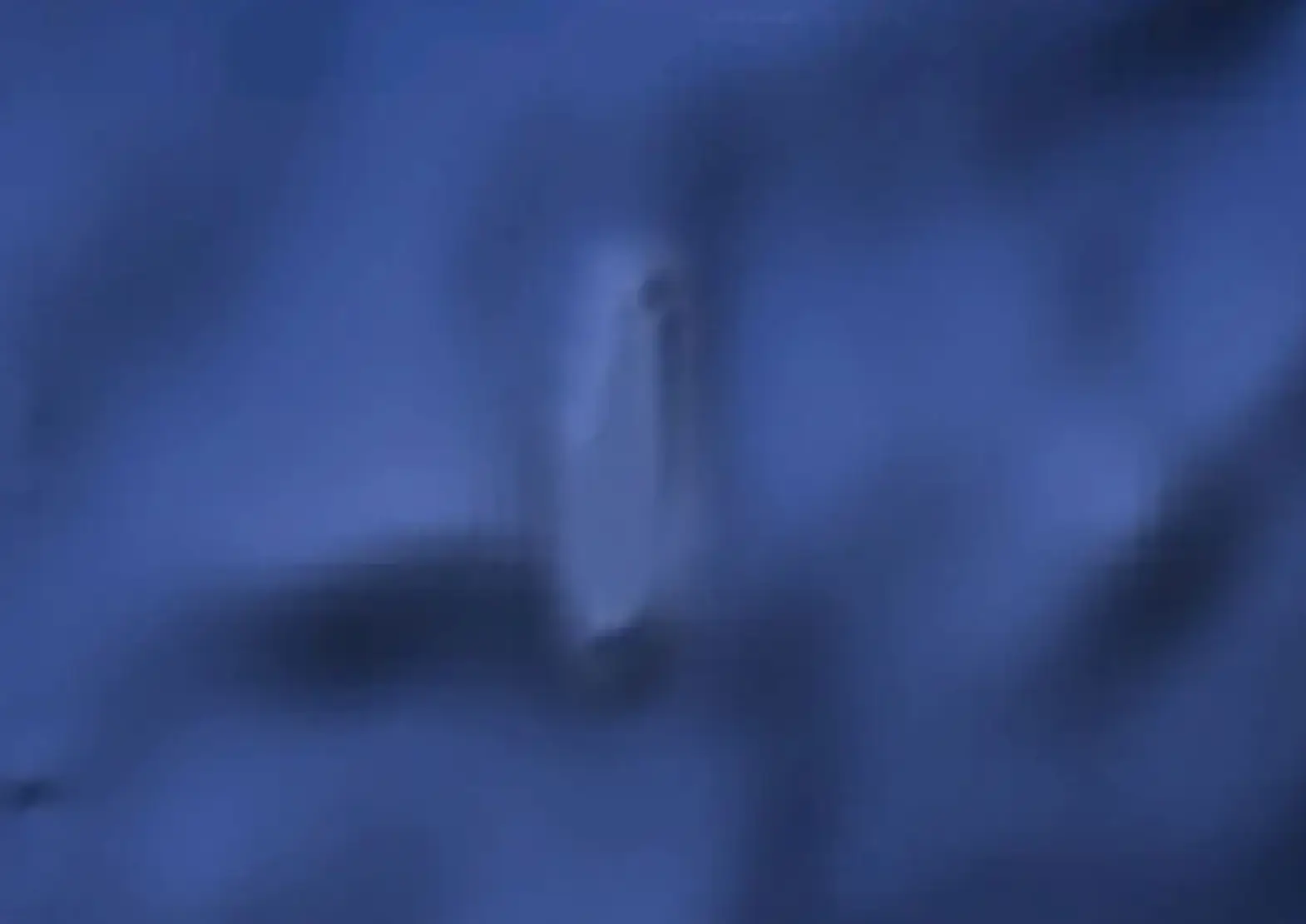
Despite all this, there have been supposed sightings of what many thought was an island over the years, with many experts saying it may have been the floating remains of coastal subaerial eruption.
Weird, right?