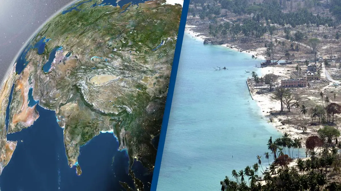
Scientists discover one of the biggest countries in the world is 'splitting in two'
A team of geophysicists have presented a new study which suggests one of the world's largest countries is splitting in two.
The theory was first presented at the American Geophysical Union conference which took place in December 2023.
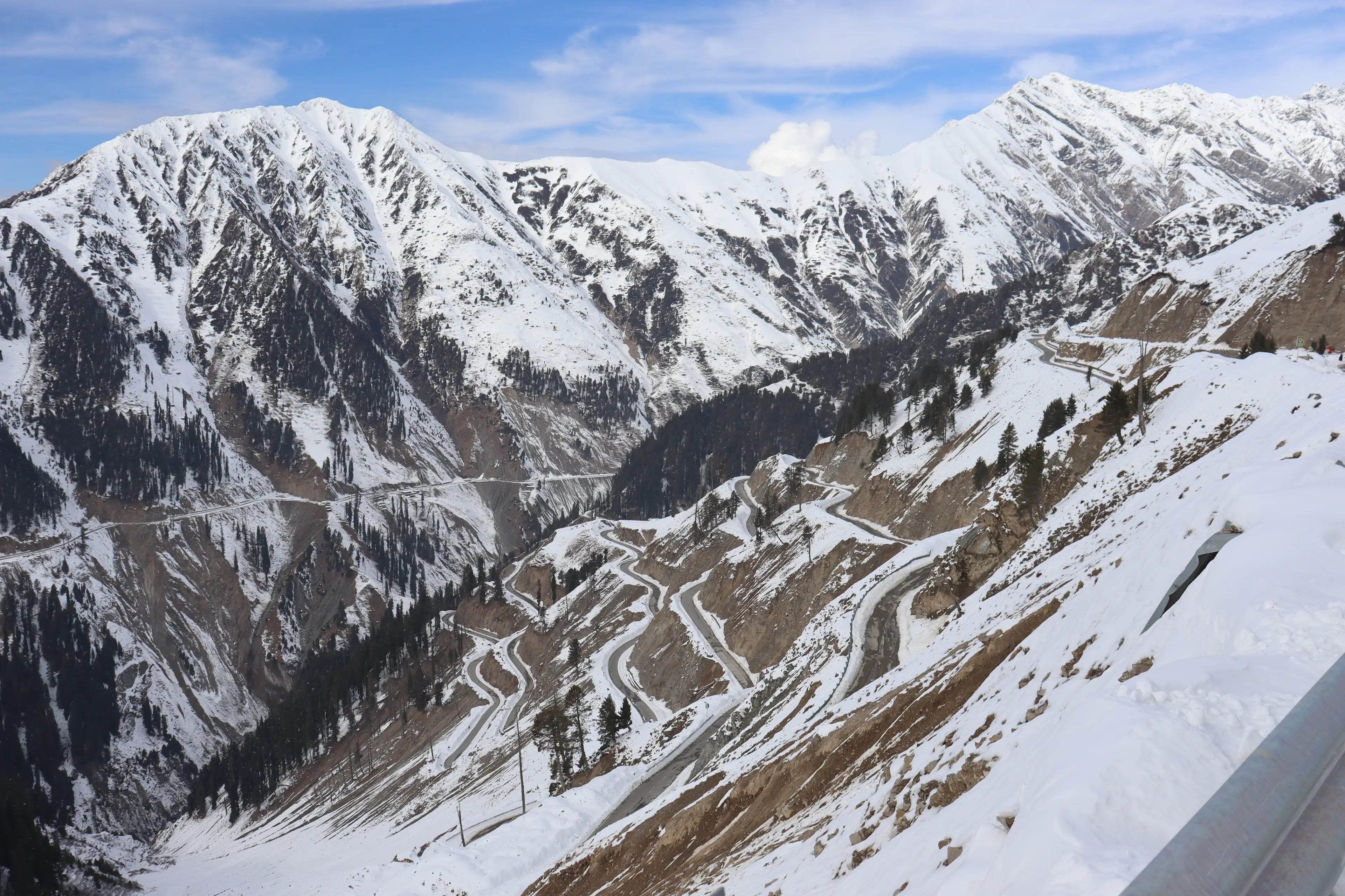
The study - titled Slab tearing and delamination of the Indian lithospheric mantle during flat-slab subduction, southeast Tibet - looks into the formation of the Himalaya.
Advert
The Himalaya is a mountain range spanning over five countries - India, Pakistan, Nepal, China and Bhutan - and according to the Geological society, 'the Himalayan mountain range and Tibetan plateau have formed as a result of the collision between the Indian Plate and Eurasian Plate which began 50 million years ago and continues today'.
The study - led by Lin Liu, Danian Shi, Simon L Klemperer et al. - started by investigating the levels of helium present in the Tibetan springs and presented a new theory about the plates that lie underneath the mountain range.
The study found the levels of helium were higher in southern Tibet compared to northern Tibet, suggesting the Indian tectonic plate is splitting in two underneath the Tibetan plateau.
The study then used '3D S-wave receiver-functions' to analyse the Indian Plate.
The receiver function technique works by using information from teleseismic earthquakes to image the structure of the Earth and its internal boundaries.
The study details, as published in ESS Open Archive: "Our 3D S-wave receiver-functions newly reveal orogon-perpendicular tearing or warping of the Indian Plate."
One of the images appeared to show evidence of the top and lower slabs of the Indian Plate appearing to detach.
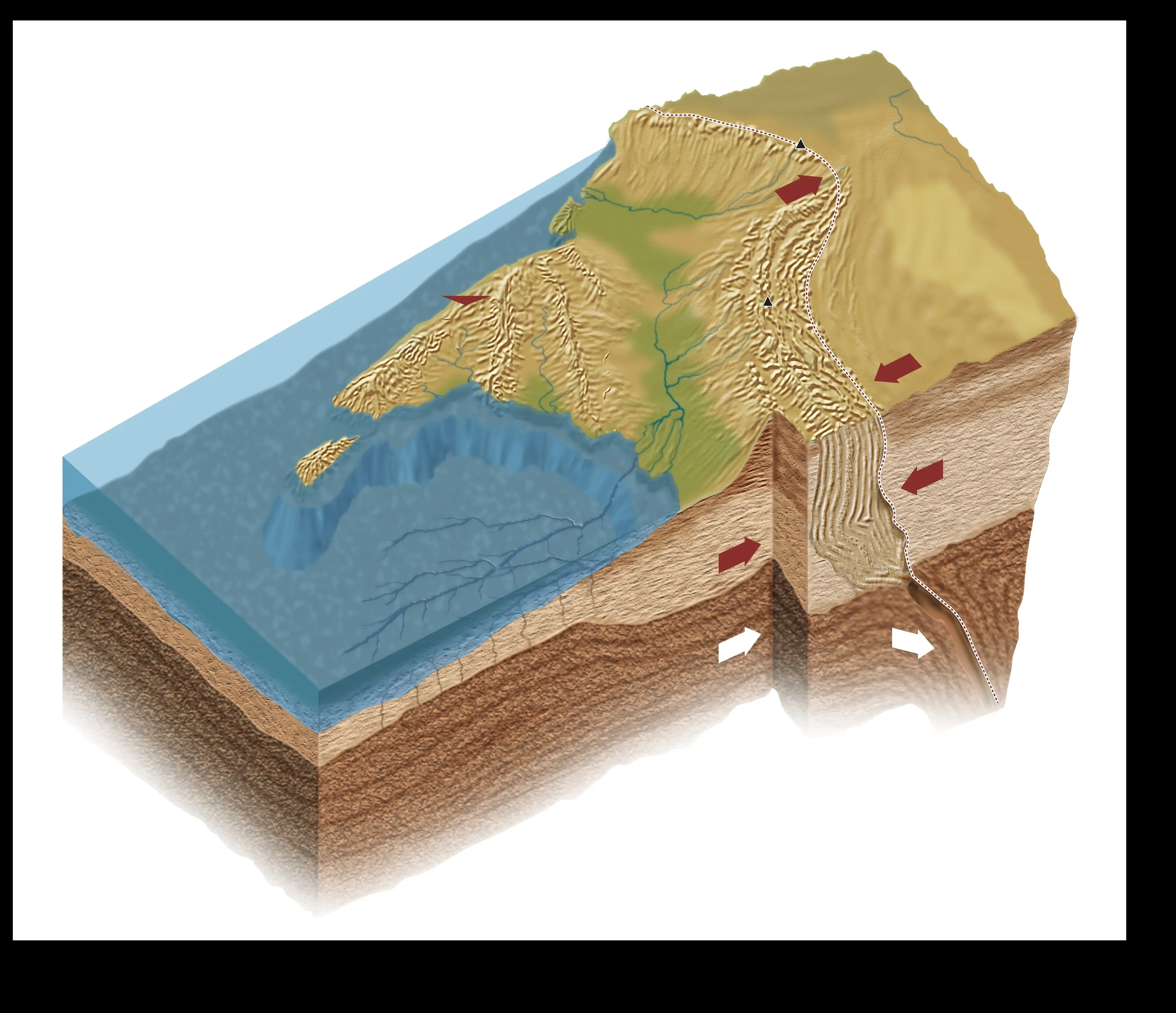
It subsequently suggests the Indian Plate is 'underplating' or 'subducting' beneath a 'mantle wedge'.
The study resolves: "Our SRFs objectively map depths to distrinct Indian and Tibetan lithosphere-asthenosphere boundaries across a substantial region of south-eastern Tibet.
"The inferred boundary between the two lithospheres is corroborated by more subjective mapping of changing SWS parameters, and by independent interpretations of the mantle suture from mantle degassing patterns and the northern limit of sub-Moho earthquakes.
"The southern limit of Tibetan lithosphere and subjacent asthenosphere is at 31°N west of 90°E but steps south by >300 km to ~28°N east of 92°E likely representing a slab tear."
Basically, this means the Indian Plate would peel into two, opposed to breaking into two.
The study suggests the upper part would pop up and cause Tibet to rise higher and the lower half would sink down further into the mantle.
Douwe van Hinsbergen, Geodynamicist at Utrecht University, told Science: "We didn’t know continents could behave this way and that is, for solid earth science, pretty fundamental."
Fabio Capitanio, Geodynamicist at Monash University, adds the data is limited at this stage - the study also yet to be peer-reviewed - noting: "It's just a snapshot. It's definitely the type of work that we need to move [forward]."
Topics: Science, World News