Frightening reason Hurricane Erin is so intense as urgent warnings issued to these parts of the US
 Britt Jones
Hurricane Erin has produced dangerous warnings to those living nearby, and there’s a good reason why.
Hurricane season is here, typically running from June 1 to November 30, but one that seems to be a little too close to the US is Hurricane Erin.
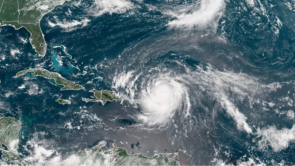
The hurricane has kept forecasters on their toes after initially being reported as a Category 1 hurricane, and then turning into a Category 5 hurricane within 24 hours, CNN reports.
Warnings have been issued in certain areas, urging people to steer clear of the coast.
Advert
The National Hurricane Center (NHC) said on Saturday (August 16): "Erin is expected to produce life-threatening surf and rip currents along the beaches of the Bahamas, much of the east coast of the US, and Atlantic Canada next week."
But why are the warnings so sure it’ll cause so much damage?
Hurricane Erin is one of the 43 Category 5 hurricanes on record in the Atlantic.
Per the National Weather Service, Category 5 hurricanes are storms that reach wind speeds of 130 to 150mph, which then have the ability to cause 'catastrophic damage'.
"Well-built framed homes can sustain severe damage with loss of most of the roof structure and/or some exterior walls," it warns.
"Most trees will be snapped or uprooted and power poles downed. Fallen trees and power poles will isolate residential areas. Power outages will last weeks to possibly months. Most of the area will be uninhabitable for weeks or months."
Erin began as a tropical storm west of Cabo Verde, before traveling over the Atlantic and turning into a hurricane on Friday (August 15). It appeared to get stronger from then on - a process known as rapid intensification.
While it was a Category 5 on Saturday in the Caribbean, it was lowered to a Category 4 shortly after weakening, the NHC said.
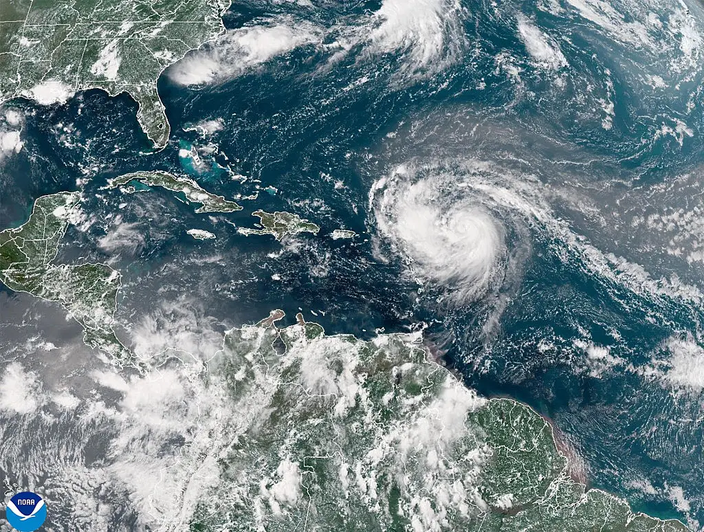
It’s not expected to hit continental United States, but its strong winds can cause landslides and other damage.
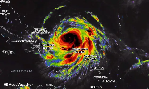
Some meteorological services for the Turks and Caicos Islands issued a Tropical Storm Watch for the British Islands to its southeast.
Although Hurricane Erin downgraded to a Category 3 in the early hours of Sunday morning (August 17), it is predicted to go back to Category 5 before it make its way around the US coast.
Erin underwent rapid intensification, which occurs when a storm has wind speeds of more than 58 miles per hour in a 24-hour window.
As per CBS News weather producer David Parkinson, its tight core and low wind shear makes it the 'perfect conditions for rapid intensification' when traveling over water, that’s warmer than usual.
Hurricane season typically peaks in mid-September, which makes Erin’s intensification and strength unusual for this time of the year.
With so much power and unpredictability, it can also make it harder for the government to plan ahead.
Rapid intensification can see coasts flooding, heavy rain and more.
For Erin, it is expected to produce heavy rain across the northern Leeward Islands, the Virgin Islands and Puerto Rico, with local flash and urban flooding, and landslides or mudslides, expected to happen, according to the National Hurricane Center in Miami.
Hurricane Milton was the last known Category 5 storm which also underwent rapid intensification, turning into a Category 3 on impact with Florida, killing a dozen people.
Hurricane Erin is expected to pass the northern Leewards, the Virgin Islands and Puerto Rico, the NHC said, before remaining offshore of the US East Coast.