Ukraine: Google Maps Disables Live Traffic Updates In Effort To Keep People Safe
Topics: Technology, Google, Ukraine, Google Maps, Russia
Topics: Technology, Google, Ukraine, Google Maps, Russia
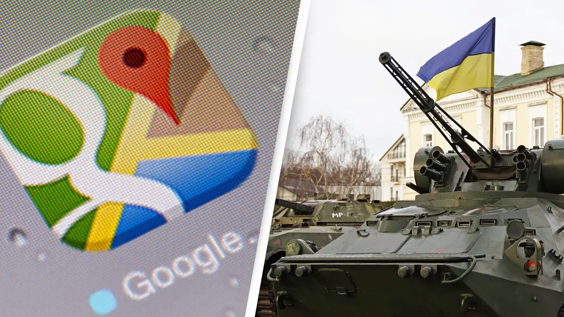
Google has temporarily disabled its live traffic updates in Ukraine in a bid to protect residents as Russian forces continue to invade.
The internet company confirmed the move on Sunday, February 27, after Russian troops descended upon major cities in Ukraine under Vladimir Putin's orders on February 24.
Users can typically access up-to-date information on traffic conditions and the popularity of locations such as restaurants and stores at a given time, however this information may pose a risk to those attempting to escape the conflict via certain routes, or gathering in certain areas.
Advert
After consulting with sources including regional authorities, Google decided to globally disable these features to prevent people from accessing information about Ukraine for the safety of local communities, Reuters reports, though live traffic information remained available to drivers using Google's turn-by-turn navigation features in the area.
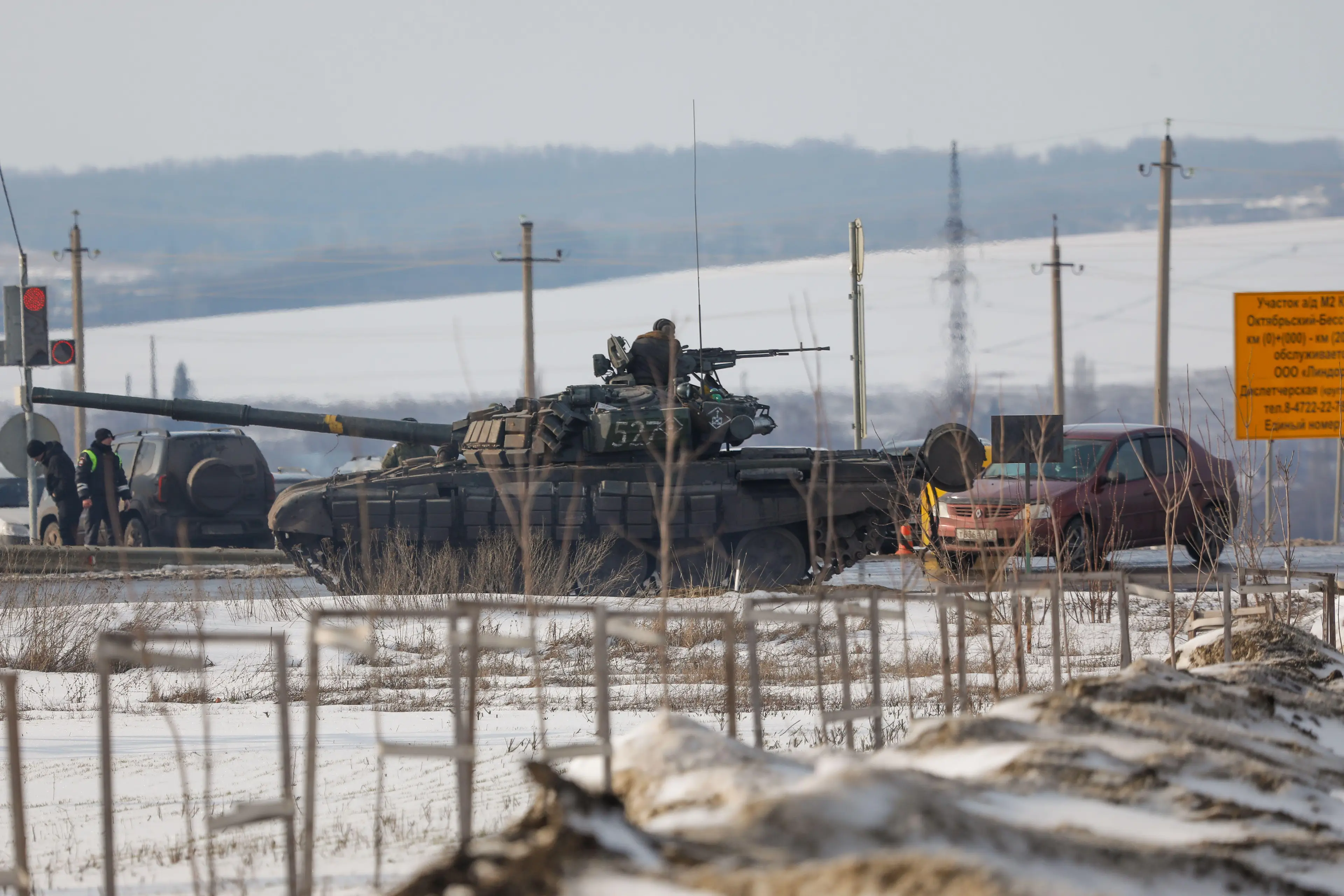
Prior to Google disabling the features, open source intelligence (OSINT) expert Jeffrey Lewis appeared to use traffic data to spot Russian troops making their way into Ukraine after Putin's announcement of the 'special military operation'.
In a post on Twitter, Lewis shared a screenshot of Google Maps of showing a traffic jam in Belgorod, Russia, writing, 'According [to] @googlemaps, there is a "traffic jam" at 3:15 in the morning on the road from Belgorod, Russia to the Ukrainian border. It starts *exactly* where we saw a Russian formation of armor and IFV/APCs show up yesterday. Someone's on the move.'
Speaking to Motherboard, Lewis expressed belief he was among 'the first people to see the invasion', pointing out he saw it 'in a traffic app'.
According @googlemaps, there is a "traffic jam" at 3:15 in the morning on the road from Belgorod, Russia to the Ukrainian border. It starts *exactly* where we saw a Russian formation of armor and IFV/APCs show up yesterday.
— Dr. Jeffrey Lewis (@ArmsControlWonk) February 24, 2022
Someone's on the move. pic.twitter.com/BYyc5YZsWL
As well as the live maps update, the OSINT expert's knowledge of the invasion came from optical and radar satellite imagery taken in the days prior to the invasion which showed Russian armoured and heavy vehicles lined up in columns ready to move.
He explained, 'We all looked at the picture, and was like, oh sh*t, it’s coming. So it’s the prior work of knowing that there’s a giant Russian armoured unit sitting right there that allowed us to say, like, oh, I know what that traffic jam is, they’re getting on the road.'
Lewis added that the traffic information was likely coming from the data of ordinary people who couldn't get on the road, rather than Russian troops who had been given away by their phones, but expressed belief that 'big data companies often don’t want to face squarely how useful their data can be'.
He continued, 'I mean, it’s cool when we do it, right? It’s maybe less cool if the Russians were able to do something similar to, you know, spotting an offensive from Ukrainians.'
It is unclear for how long the features will be disabled.
If you would like to donate to the Red Cross Emergency Appeal, which will help provide food, medicines and basic medical supplies, shelter and water to those in Ukraine, click here for more information.